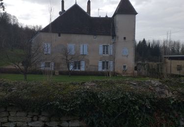
Trail Road bike Pin - 10471975-track-1600760564-112 - Photo

10471975-track-1600760564-112

 calou123
calou123

User

© OpenStreetMap contributors
Length
Length
63 km
Max alt
Max alt
328 m
Uphill gradient
Uphill gradient
795 m
Km-Effort
Km-Effort  
74 km
Min alt
Min alt
192 m
Downhill gradient
Downhill gradient
800 m
Boucle
Boucle
Yes
Creation date :
2020-09-22 08:01:29.644
Updated on :
2020-10-09 08:56:50.71

(0 Reviews)

Road bike
Road bike
--
Difficulty : Unknown

Scan this QR Code to open this trail in the SityTrail application

FREE GPS app for hiking

Logo SityTrail SityTrail

IGN / Geographical institutes

Download SityTrail from the App Store Download SityTrail from Google Play

Logo SityTrail SityTrail World

The world is yours!

Download SityTrail from the App Store Download SityTrail from Google Play Download SityTrail on Huawei AppGallery

About

Trail Road bike of 63 km to be discovered at Bourgogne-Franche-Comté, Haute-Saône, Pin. This trail is proposed by calou123.

Elevation profile

Positioning

Country:
France
Region :
Bourgogne-Franche-Comté
Department/Province :
Haute-Saône
Municipality :
Pin
Location:
Unknown
Start:(Dec)
Start:(UTM)
716448 ; 5244901 (31T) N.

Trails nearby

Trail Walking Chaucenne - chaucenne long - Photo
Walking
eltonnermou

Walking

Medium
Chaucenne, Bourgogne-Franche-Comté, Doubs, France
22 km | 25 km-effort
3h 44min
Yes
Trail Walking Chaucenne - chaucen..ne perd rien - Photo
Walking
eltonnermou

Walking

Easy
(1)
Chaucenne, Bourgogne-Franche-Comté, Doubs, France
13.9 km | 16.8 km-effort
3h 49min
Yes
Trail Walking Chevigney-sur-l'Ognon - CHEVIGNEY SUR L'OGNON - Photo
Walking
legios84

Walking

Easy
Chevigney-sur-l'Ognon, Bourgogne-Franche-Comté, Doubs, France
8.9 km | 10.1 km-effort
1h 55min
No
Trail Walking Moncley - Moncley  - Photo
Walking
legios84

Walking

Medium
Moncley, Bourgogne-Franche-Comté, Doubs, France
13.2 km | 15.7 km-effort
2h 43min
Yes
Trail Walking Émagny - chant - Photo
Walking
Nicolas Andre 2

Walking

Easy
Émagny, Bourgogne-Franche-Comté, Doubs, France
4.8 km | 5.5 km-effort
1h 54min
No
Trail Walking Pelousey - pelous..eytonnant  - Photo
Walking
eltonnermou

Walking

Easy
(1)
Pelousey, Bourgogne-Franche-Comté, Doubs, France
16.2 km | 19.2 km-effort
2h 30min
Yes
Trail Walking Gézier-et-Fontenelay - rando gezier - Photo
Walking
mig26

Walking

Easy
Gézier-et-Fontenelay, Bourgogne-Franche-Comté, Haute-Saône, France
18.3 km | 24 km-effort
4h 18min
Yes
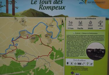
Trail Walking Émagny - Le tour des Rompeux - Photo
Walking
i20

Walking

Easy
Émagny, Bourgogne-Franche-Comté, Doubs, France
8.9 km | 10 km-effort
1h 48min
Yes
Trail Walking Brussey - Brussey - Photo
Walking
eltonnermou

Walking

Very easy
Brussey, Bourgogne-Franche-Comté, Haute-Saône, France
9.5 km | 11.6 km-effort
1h 25min
Yes


Close
My subscriptions