


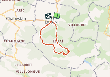

5.5 km | 10.3 km-effort

User GUIDE


FREE GPS app for hiking
 SityTrail
IGN / Geographical institutes
SityTrail World
The world is yours!
Trail Walking of 12.5 km to be discovered at Provence-Alpes-Côte d'Azur, Hautes-Alpes, Le Saix. This trail is proposed by RobinMicheline.
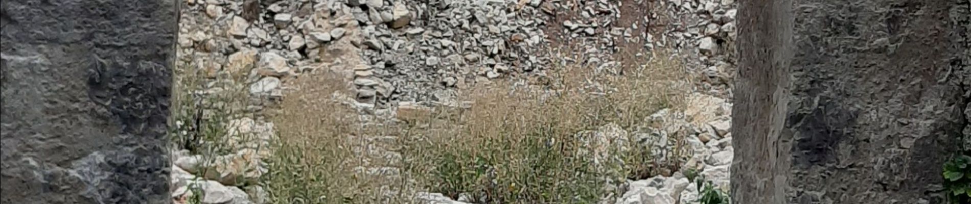
Belle rando , sentier sympa , abbaye en cours de restauration , garder cette rando pour les photos


Walking

Mountain bike

Mountain bike

Mountain bike

Mountain bike

Mountain bike

Walking

Walking

Walking