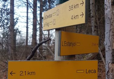
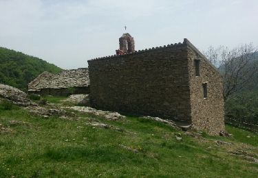
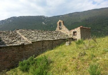
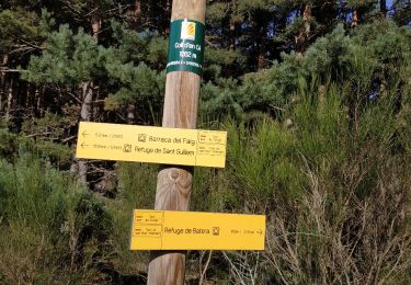
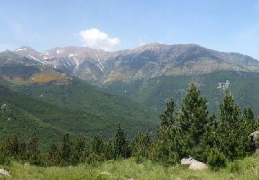
12.1 km | 19.5 km-effort
pic des tres vents
HENRYLESTEL
User
Length
17.9 km
Max alt
2713 m
Uphill gradient
1390 m
Km-Effort
37 km
Min alt
1280 m
Downhill gradient
1444 m
Boucle
No
Creation date :
2020-09-20 06:10:07.815
Updated on :
2020-09-21 15:25:40.112
7h45
Difficulty : Difficult
FREE GPS app for hiking
About
Trail Walking of 17.9 km to be discovered at Occitania, Pyrénées-Orientales, Le Tech. This trail is proposed by HENRYLESTEL.
Description
randonnée Aymé et cueillette cèpes départ refuge st Guilhem
Positioning
Country:
France
Region :
Occitania
Department/Province :
Pyrénées-Orientales
Municipality :
Le Tech
Location:
Unknown
Start:(Dec)
Start:(UTM)
458659 ; 4700289 (31T) N.
Comments
Trails nearby
l,allau st guillem
Walking
Very difficult
Le Tech,
Occitania,
Pyrénées-Orientales,
France
5h 27min
Yes
leca cabanes del faig14km 871m 4h45
Walking
Difficult
Corsavy,
Occitania,
Pyrénées-Orientales,
France
14.9 km | 26 km-effort
4h 41min
Yes
CORSAVY "LECA" (27/09/2018)
Walking
Medium
Corsavy,
Occitania,
Pyrénées-Orientales,
France
13.7 km | 25 km-effort
5h 23min
Yes
Col de la roue Saint Guilhem
Walking
Easy
(1)
Le Tech,
Occitania,
Pyrénées-Orientales,
France
15.2 km | 23 km-effort
5h 16min
Yes
Ermitage Saint Guilem Puig Del Pastors
Walking
Medium
Le Tech,
Occitania,
Pyrénées-Orientales,
France
16.7 km | 30 km-effort
6h 16min
Yes
refuge de st guillem
Walking
Medium
Le Tech,
Occitania,
Pyrénées-Orientales,
France
12.7 km | 21 km-effort
3h 31min
Yes
Col de la roue la Souque_T
Walking
Medium
Le Tech,
Occitania,
Pyrénées-Orientales,
France
19.5 km | 31 km-effort
6h 26min
Yes