![](/images/other/stat-length.png)
![Trail Walking Bièvre - Bièvre Les Maurzies - Photo](https://media.geolcdn.com/t/1900/400/c68c9577-3a0d-49de-ba96-6e63bcf132be.jpg&format=pjpeg&maxdim=2)
Bièvre Les Maurzies
Maison du Tourisme du Pays de Bouillon
Au Coeur de l'Ardenne Authentique - In het Hart van de Echte Ardennen GUIDE+
![Length](/images/other/stat-length.png)
Length
6 km
![Max alt](https://static1.geolcdn.com/siteimages/upload/files/1508320355ic_sort_altitude_max_24dp.png)
Max alt
416 m
![Uphill gradient](https://static1.geolcdn.com/siteimages/upload/files/1508320355ic_sort_den_pos_24dp.png)
Uphill gradient
82 m
![Km-Effort](/images/other/stat-length.png)
Km-Effort
7 km
![Min alt](https://static1.geolcdn.com/siteimages/upload/files/1508320355ic_sort_altitude_min_24dp.png)
Min alt
363 m
![Downhill gradient](https://static1.geolcdn.com/siteimages/upload/files/1508320355ic_sort_den_neg_24dp.png)
Downhill gradient
82 m
![Boucle](https://static1.geolcdn.com/siteimages/upload/files/16400158638029165_repeat_loop_refresh_sync_direction_icon.png)
Boucle
Yes
Creation date :
2020-09-17 12:10:56.943
Updated on :
2021-03-21 10:32:13.831
![Walking](https://static1.geolcdn.com/sitytour/trail-icons/101.png)
1h16
Difficulty : Easy
![Scan this QR Code to open this trail in the SityTrail application](https://capi.geolives.com/qq0zvz2zws4bq2lad0pu/sitytour/trails/2557996/qr.png?size=200)
FREE GPS app for hiking
About
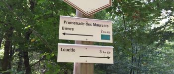
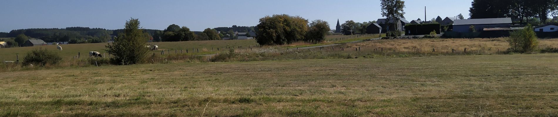
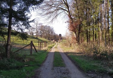
Trail Walking of 6 km to be discovered at Wallonia, Namur, Bièvre. This trail is proposed by Maison du Tourisme du Pays de Bouillon.
Description
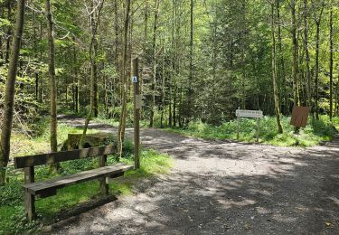
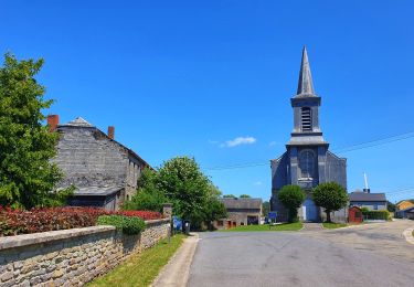
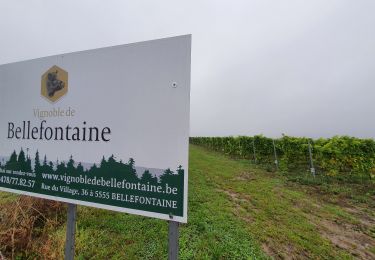
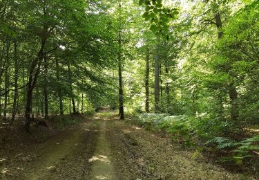
Belle découverte des alentours champêtres de Bièvre. Agréable partie en forêt.
Aangename kennismaking met de omgeving van Bièvre met een deel in het bos.
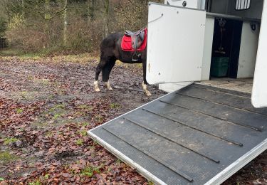
Positioning
Country:
Belgium
Region :
Wallonia
Department/Province :
Namur
Municipality :
Bièvre
Location:
Bièvre
Start:(Dec)
Start:(UTM)
644702 ; 5534029 (31U) N.
Comments
Trails nearby
![Horseback riding Horseback riding](https://static1.geolcdn.com/sitytour/trail-icons/301.png)
Graide manege 10km ZZW
Horseback riding
Easy
(2)
Bièvre,
Wallonia,
Namur,
Belgium
![](/images/other/stat-length.png)
10.1 km | 13.1 km-effort
1h 43min
![](https://static1.geolcdn.com/siteimages/upload/files/16400158638029165_repeat_loop_refresh_sync_direction_icon.png)
Yes
![Trail Walking Bièvre - La roche mouselle bv11 - Photo](https://media.geolcdn.com/t/375/260/180021d9-3dfc-4c34-835a-76474bb7f028.jpg&format=jpg&maxdim=2)
![Walking Walking](https://static1.geolcdn.com/sitytour/trail-icons/101.png)
La roche mouselle bv11
Walking
Easy
(2)
Bièvre,
Wallonia,
Namur,
Belgium
![](/images/other/stat-length.png)
5.5 km | 7.2 km-effort
1h 27min
![](https://static1.geolcdn.com/siteimages/upload/files/16400158638029165_repeat_loop_refresh_sync_direction_icon.png)
Yes
![Trail Walking Bièvre - Promenade de la Roche Mouselle - Petit-Fays - Photo](https://media.geolcdn.com/t/375/260/501e45df-6a5c-4127-b2f5-d1b068aa8215.jpg&format=jpg&maxdim=2)
![Walking Walking](https://static1.geolcdn.com/sitytour/trail-icons/101.png)
Promenade de la Roche Mouselle - Petit-Fays
Walking
Medium
Bièvre,
Wallonia,
Namur,
Belgium
![](/images/other/stat-length.png)
5.5 km | 7.2 km-effort
1h 38min
![](https://static1.geolcdn.com/siteimages/upload/files/16400158638029165_repeat_loop_refresh_sync_direction_icon.png)
Yes
![Trail Walking Bièvre - Balade à Bellefontaine - Bièvre - Photo](https://media.geolcdn.com/t/375/260/479b792a-217f-4a9c-be19-91532b972e2a.jpeg&format=jpg&maxdim=2)
![Walking Walking](https://static1.geolcdn.com/sitytour/trail-icons/101.png)
Balade à Bellefontaine - Bièvre
Walking
Difficult
Bièvre,
Wallonia,
Namur,
Belgium
![](/images/other/stat-length.png)
10 km | 12.9 km-effort
2h 56min
![](https://static1.geolcdn.com/siteimages/upload/files/16400158638029165_repeat_loop_refresh_sync_direction_icon.png)
Yes
![Trail Walking Bièvre - Marche ADEPS 10KM400 à Graide. - Photo](https://media.geolcdn.com/t/375/260/f5dfd78c-f060-4d8c-b9fd-b47c4cdcaa0b.jpg&format=jpg&maxdim=2)
![Walking Walking](https://static1.geolcdn.com/sitytour/trail-icons/101.png)
Marche ADEPS 10KM400 à Graide.
Walking
Medium
Bièvre,
Wallonia,
Namur,
Belgium
![](/images/other/stat-length.png)
10.4 km | 13 km-effort
2h 12min
![](https://static1.geolcdn.com/siteimages/upload/files/16400158638029165_repeat_loop_refresh_sync_direction_icon.png)
Yes
![Trail On foot Bièvre - Les Fayais - Photo](https://media.geolcdn.com/t/375/260/ext.jpg?maxdim=2&url=https%3A%2F%2Fpivotmedia.tourismewallonie.be%2FOTH-A0-005G-2KXD%2FOTH-A0-005G-2KXD.jpg)
![On foot On foot](https://static1.geolcdn.com/sitytour/trail-icons/100.png)
![Trail On foot Bièvre - Les Maurzies - Photo](https://media.geolcdn.com/t/375/260/ext.jpg?maxdim=2&url=https%3A%2F%2Fpivotmedia.tourismewallonie.be%2FOTH-A0-005I-0I7U%2FOTH-A0-005I-0I7U.jpg)
![On foot On foot](https://static1.geolcdn.com/sitytour/trail-icons/100.png)
![Trail On foot Bièvre - La Roche Mouselle - Photo](https://media.geolcdn.com/t/375/260/ext.jpg?maxdim=2&url=https%3A%2F%2Fpivotmedia.tourismewallonie.be%2FOTH-A0-005E-1WZO%2FOTH-A0-005E-1WZO.jpg)
![On foot On foot](https://static1.geolcdn.com/sitytour/trail-icons/100.png)
La Roche Mouselle
On foot
Easy
(1)
Bièvre,
Wallonia,
Namur,
Belgium
![](/images/other/stat-length.png)
5.4 km | 7 km-effort
1h 34min
![](https://static1.geolcdn.com/siteimages/upload/files/16400158638029165_repeat_loop_refresh_sync_direction_icon.png)
Yes
![Trail On foot Bièvre - Promenade du Maquis - Photo](https://media.geolcdn.com/t/375/260/ext.jpg?maxdim=2&url=https%3A%2F%2Fpivotmedia.tourismewallonie.be%2FOTH-A0-005I-0N0A%2FOTH-A0-005I-0N0A.jpg)
![On foot On foot](https://static1.geolcdn.com/sitytour/trail-icons/100.png)
Promenade du Maquis
On foot
Easy
(1)
Bièvre,
Wallonia,
Namur,
Belgium
![](/images/other/stat-length.png)
4.8 km | 6.1 km-effort
1h 23min
![](https://static1.geolcdn.com/siteimages/upload/files/16400158638029165_repeat_loop_refresh_sync_direction_icon.png)
Yes