26 km | 32 km-effort
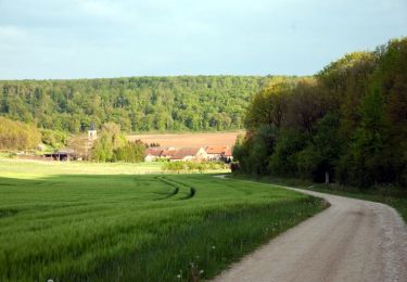
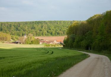
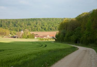
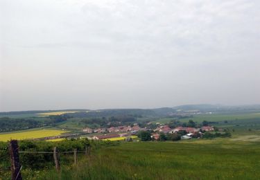
St Mihiel - forêt domaniale de Gaumont
g.chotel
User
Length
9.8 km
Max alt
382 m
Uphill gradient
178 m
Km-Effort
12.1 km
Min alt
240 m
Downhill gradient
173 m
Boucle
Yes
Creation date :
2020-09-20 13:52:00.0
Updated on :
2020-09-20 15:47:48.081
1h55
Difficulty : Easy
FREE GPS app for hiking
About
Trail Walking of 9.8 km to be discovered at Grand Est, Meuse, Saint-Mihiel. This trail is proposed by g.chotel.
Positioning
Country:
France
Region :
Grand Est
Department/Province :
Meuse
Municipality :
Saint-Mihiel
Location:
Unknown
Start:(Dec)
Start:(UTM)
688826 ; 5418367 (31U) N.
Comments
Trails nearby
La vallée de la Meuse - St-Mihiel
Cycle
Medium
Saint-Mihiel,
Grand Est,
Meuse,
France
38 km | 45 km-effort
2h 15min
Yes
Le Saillant de Saint-Mihiel
Mountain bike
Medium
Saint-Mihiel,
Grand Est,
Meuse,
France
20 km | 26 km-effort
2h 0min
Yes
Le Saillant de Saint-Mihiel
Walking
Very difficult
Saint-Mihiel,
Grand Est,
Meuse,
France
20 km | 26 km-effort
4h 4min
Yes
Le vent des forêts - Saint Mihiel
Cycle
Medium
Saint-Mihiel,
Grand Est,
Meuse,
France
42 km | 48 km-effort
2h 30min
Yes
Aux portes du Parc Naturel Régional de Lorraine - Saint Mihiel
Cycle
Medium
Saint-Mihiel,
Grand Est,
Meuse,
France
39 km | 45 km-effort
2h 0min
Yes
Aux portes de Saint-Mihiel - Circuit n° 6
Cycle
Medium
Saint-Mihiel,
Grand Est,
Meuse,
France
41 km | 48 km-effort
2h 19min
Yes
Koeur - version 2
Mountain bike
Difficult
Kœur-la-Petite,
Grand Est,
Meuse,
France
30 km | 35 km-effort
2h 30min
Yes
Les paroches - Verduns
Mountain bike
Very difficult
Les Paroches,
Grand Est,
Meuse,
France
46 km | 55 km-effort
3h 48min
No