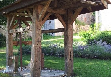
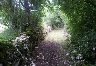
Trail Walking Ginouillac - Ginouillac - Photo
 Reider
Reider

User

© OpenStreetMap contributors
Length
Length
17.8 km
Max alt
Max alt
414 m
Uphill gradient
Uphill gradient
447 m
Km-Effort
Km-Effort  
24 km
Min alt
Min alt
240 m
Downhill gradient
Downhill gradient
450 m
Boucle
Boucle
Yes
Creation date :
2020-09-20 08:10:27.33
Updated on :
2020-09-21 06:22:54.412

(0 Reviews)

Walking
Walking
6h28
Difficulty : Very easy

Scan this QR Code to open this trail in the SityTrail application

FREE GPS app for hiking

Logo SityTrail SityTrail

IGN / Geographical institutes

Download SityTrail from the App Store Download SityTrail from Google Play

Logo SityTrail SityTrail World

The world is yours!

Download SityTrail from the App Store Download SityTrail from Google Play Download SityTrail on Huawei AppGallery

About

Trail Walking of 17.8 km to be discovered at Occitania, Lot, Ginouillac. This trail is proposed by Reider.

Description

Randonnée peu vallonnée, quelques hameaux avec des maisons typiques bien restaurées. Agréable et sans grosse difficulté.

Elevation profile

Positioning

Country:
France
Region :
Occitania
Department/Province :
Lot
Municipality :
Ginouillac
Location:
Unknown
Start:(UTM)
384294 ; 4953519 (31T) N.

Trails nearby

Trail Nordic walking Ginouillac - Tour de Ginouillac - Photo
Nordic walking
GUIDE
yago1404

Nordic walking

Easy
Ginouillac, Occitania, Lot, France
12.7 km | 16.9 km-effort
2h 34min
Yes
Trail Nordic walking Ginouillac - Tour de Ginouillac à partir de Monet - Photo
Nordic walking
GUIDE
yago1404

Nordic walking

Easy
Ginouillac, Occitania, Lot, France
12.3 km | 16 km-effort
2h 19min
No
Trail Walking Saint-Projet - 2022 07 Randonnée Rocamadour - Cazals GR 652 - Photo
Walking
LEGUE

Walking

Medium
Saint-Projet, Occitania, Lot, France
34 km | 40 km-effort
4h 14min
No
Trail Walking Calès - 27.06.2017 - Photo
Walking
acdp

Walking

Very easy
Calès, Occitania, Lot, France
7.4 km | 9.4 km-effort
2h 4min
Yes
Trail Walking Montfaucon - Étape 4 septembre 2024 - Photo
Walking
Pascal Bernaud

Walking

Very difficult
Montfaucon, Occitania, Lot, France
18.3 km | 24 km-effort
6h 27min
No
Trail Walking Séniergues - Séniergues 2 (Lot) - Photo
Walking
houbart

Walking

Difficult
Séniergues, Occitania, Lot, France
11.8 km | 15.6 km-effort
3h 33min
Yes
Trail Walking Carlucet - Carlucet - Labastide Murat - Photo
Walking
Bernard Lejeune

Walking

Difficult
Carlucet, Occitania, Lot, France
14.4 km | 19 km-effort
4h 18min
No
Trail Walking Carlucet - La Jamonne  La Bastide Murat - Photo
Walking
DFINAUD

Walking

Medium
Carlucet, Occitania, Lot, France
16.5 km | 22 km-effort
4h 56min
No


Close
My subscriptions