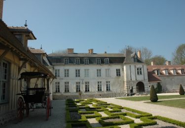
12.5 km | 13.9 km-effort
Gélannes, Saint Hilaire
Alain Picard
User
Length
11.7 km
Max alt
125 m
Uphill gradient
161 m
Km-Effort
13.8 km
Min alt
69 m
Downhill gradient
161 m
Boucle
Yes
Creation date :
2020-09-19 21:23:50.87
Updated on :
2020-09-19 21:26:17.1
3h00
Difficulty : Medium
FREE GPS app for hiking
About
Trail On foot of 11.7 km to be discovered at Grand Est, Aube, Gélannes. This trail is proposed by Alain Picard.
Description
12 km à travers champs.
Positioning
Country:
France
Region :
Grand Est
Department/Province :
Aube
Municipality :
Gélannes
Location:
Unknown
Start:(Dec)
Start:(UTM)
549955 ; 5370856 (31U) N.
Comments
Trails nearby
FERREUX-QUINCEY à Saint-AUBIN
On foot
Easy
(1)
Ferreux-Quincey,
Grand Est,
Aube,
France
3h 25min
Yes
GÉLANNES, le village et les champs de céréales
Walking
Medium
(1)
Gélannes,
Grand Est,
Aube,
France
10 km | 11.4 km-effort
2h 34min
Yes
Entre CRANCEY et PONT SUR SEINE
Walking
Medium
Crancey,
Grand Est,
Aube,
France
10.2 km | 11.5 km-effort
2h 25min
Yes
la Béchère 6 décembre 2021
Nordic walking
Medium
Romilly-sur-Seine,
Grand Est,
Aube,
France
8.5 km | 9 km-effort
1h 36min
Yes
Balade en bord de Seine - Romilly sur Seine
Cycle
Medium
Romilly-sur-Seine,
Grand Est,
Aube,
France
58 km | 62 km-effort
2h 30min
Yes
pars les romilly montvilliers
On foot
Easy
Pars-lès-Romilly,
Grand Est,
Aube,
France
10.1 km | 10.6 km-effort
2h 24min
Yes
GELANNES (10) - Balade en plaine Gélannoise
sport
Very easy
Gélannes,
Grand Est,
Aube,
France
10.7 km | 12.3 km-effort
Unknown
Yes