Trail Walking Champlitte - Champlitte - Photo
© OpenStreetMap contributors
Length
Length
14.9 km
Max alt
Max alt
316 m
Uphill gradient
Uphill gradient
246 m
Km-Effort
Km-Effort  
18.2 km
Min alt
Min alt
209 m
Downhill gradient
Downhill gradient
248 m
Boucle
Boucle
Yes
Creation date :
2020-09-18 12:30:39.663
Updated on :
2020-09-28 10:16:39.978

(1 Reviews)

Walking
Walking
2h18
Difficulty : Easy

Scan this QR Code to open this trail in the SityTrail application

FREE GPS app for hiking

Logo SityTrail SityTrail

IGN / Geographical institutes

Download SityTrail from the App Store Download SityTrail from Google Play

Logo SityTrail SityTrail World

The world is yours!

Download SityTrail from the App Store Download SityTrail from Google Play Download SityTrail on Huawei AppGallery

About

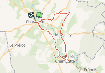
Trail Walking of 14.9 km to be discovered at Bourgogne-Franche-Comté, Haute-Saône, Champlitte. This trail is proposed by eltonnermou.

Description

14,8km randonnée 4/5 pieds propres
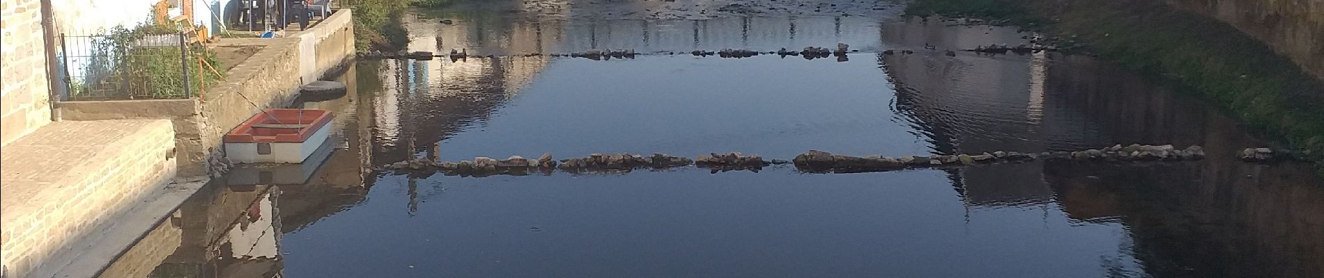
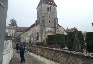
Pour le retour : à partir de la place notre dame, partir à droite par le chemin de la HAYE HAUTE, puis à gauche le chemin des remparts (vous passerez près des musées et contournerez le superbe château (cela ne rallongera que fort peu la rando : - de 200m) puis à gauche la rue république.
cette randonnée vous fera découvrir la vallée du salon, rivière de plaine ; avec des points de vue sur les villages de Neuvelle, Le Frânois et Champlitte.
Laissez vous happer par la nature, la faune et la flore.

Elevation profile

Photos

Positioning

Country:
France
Region :
Bourgogne-Franche-Comté
Department/Province :
Haute-Saône
Municipality :
Champlitte
Location:
Unknown
Start:(UTM)
688852 ; 5276737 (31T) N.

Comments

Please log in to post a review or rate the element


Trails nearby

Trail Walking Champlitte - champlitte - Photo
Walking
paillyclaude

Walking

Medium
(1)
Champlitte, Bourgogne-Franche-Comté, Haute-Saône, France
16.5 km | 19.9 km-effort
5h 26min
Yes


Close
My subscriptions