


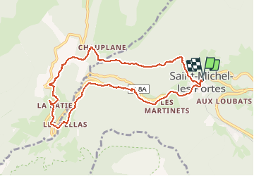

14.3 km | 31 km-effort


User


FREE GPS app for hiking
 SityTrail
IGN / Geographical institutes
SityTrail World
The world is yours!
Trail Walking of 10 km to be discovered at Auvergne-Rhône-Alpes, Isère, Saint-Michel-les-Portes. This trail is proposed by rapako.
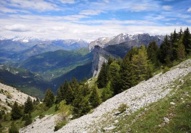
Une balade en montées-descentes, dans les sous-bois ou à l'ombre, à faire quand il faut chaud ailleurs.
Ruisseau de Chauplane --> La Batie --> Chez Cotte --> Les Pellas --> St. Michel
Balises Jaune-Vert

Walking

Walking

Walking

Walking

Walking

Walking

Walking

Walking
Equestrian