


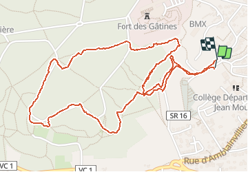

11.9 km | 14 km-effort

User


FREE GPS app for hiking
 SityTrail
IGN / Geographical institutes
SityTrail World
The world is yours!
Trail Nordic walking of 3.3 km to be discovered at Ile-de-France, Essonne, Verrières-le-Buisson. This trail is proposed by patjobou.
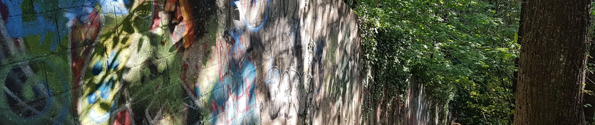
Exploration. Tout les chemins existent, il n'y a pas vraiment de point de vue. Le passage au sud du terrain militaire, le long d'un mur (photo), n'est pas top, en particulier avec des enfants.


Walking

Walking

Walking

Walking

Walking

Walking
Walking

Walking

Walking