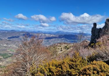
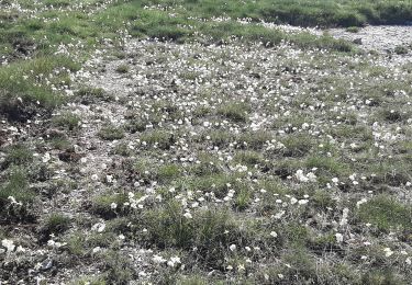
13.3 km | 23 km-effort
montagne de mare Eourre
jeanjacquescavet
User
Length
12.9 km
Max alt
1603 m
Uphill gradient
760 m
Km-Effort
23 km
Min alt
932 m
Downhill gradient
768 m
Boucle
Yes
Creation date :
2020-09-16 08:06:33.001
Updated on :
2020-09-16 17:30:42.841
4h40
Difficulty : Medium
FREE GPS app for hiking
About
Trail Walking of 12.9 km to be discovered at Provence-Alpes-Côte d'Azur, Hautes-Alpes, Éourres. This trail is proposed by jeanjacquescavet.
Description
boucle
Positioning
Country:
France
Region :
Provence-Alpes-Côte d'Azur
Department/Province :
Hautes-Alpes
Municipality :
Éourres
Location:
Unknown
Start:(Dec)
Start:(UTM)
715479 ; 4899149 (31T) N.
Comments
Trails nearby
Traversée de la Montagne de Mare depuis Aubard
Walking
Easy
(1)
Saint-Vincent-sur-Jabron,
Provence-Alpes-Côte d'Azur,
Alpes-de-Haute-Provence,
France
5h 45min
Yes
2024-10-13 Saint Vincent sur Jabron- Pas de Parandier
Walking
Very difficult
Saint-Vincent-sur-Jabron,
Provence-Alpes-Côte d'Azur,
Alpes-de-Haute-Provence,
France
14.1 km | 22 km-effort
5h 1min
Yes
mare et pied du mulet
Walking
Easy
(1)
Éourres,
Provence-Alpes-Côte d'Azur,
Hautes-Alpes,
France
12.2 km | 23 km-effort
5h 47min
No
Crête Montagne de Mare Via St Vincent sur Jabron
Walking
Very difficult
Saint-Vincent-sur-Jabron,
Provence-Alpes-Côte d'Azur,
Alpes-de-Haute-Provence,
France
14.8 km | 25 km-effort
5h 44min
Yes
SAINT VINCENT DU JABRON. Aubard, col de Verdun , le pied du mulet o l m s
Walking
Medium
Saint-Vincent-sur-Jabron,
Provence-Alpes-Côte d'Azur,
Alpes-de-Haute-Provence,
France
13.3 km | 23 km-effort
3h 48min
Yes
EOURRES. Les Damias , col S Pierre , col de Branche , crête de Chanteduc , o...
Walking
Easy
Éourres,
Provence-Alpes-Côte d'Azur,
Hautes-Alpes,
France
10 km | 17.9 km-effort
3h 3min
Yes
SAINT VINCENT SUR JABRON. Pas de Parandier ,montagne S Michel o n
Walking
Medium
Saint-Vincent-sur-Jabron,
Provence-Alpes-Côte d'Azur,
Alpes-de-Haute-Provence,
France
14.4 km | 23 km-effort
4h 13min
Yes
Les Chaux - Curel
Running
Difficult
Curel,
Provence-Alpes-Côte d'Azur,
Alpes-de-Haute-Provence,
France
8.5 km | 16.2 km-effort
1h 21min
Yes
Les Chaux - Curel
Walking
Medium
Curel,
Provence-Alpes-Côte d'Azur,
Alpes-de-Haute-Provence,
France
8.5 km | 16.2 km-effort
2h 30min
Yes