Trail Mountain bike Vionnaz -  - Photo
 maturin
maturin

User

© OpenStreetMap contributors
Length
Length
63 km
Max alt
Max alt
1790 m
Uphill gradient
Uphill gradient
2689 m
Km-Effort
Km-Effort  
99 km
Min alt
Min alt
991 m
Downhill gradient
Downhill gradient
2697 m
Boucle
Boucle
Yes
Creation date :
2014-12-11 00:00:00.0
Updated on :
2014-12-11 00:00:00.0

(0 Reviews)

Mountain bike
Mountain bike
5h20
Difficulty : Unknown

Scan this QR Code to open this trail in the SityTrail application

FREE GPS app for hiking

Logo SityTrail SityTrail

IGN / Geographical institutes

Download SityTrail from the App Store Download SityTrail from Google Play

Logo SityTrail SityTrail World

The world is yours!

Download SityTrail from the App Store Download SityTrail from Google Play Download SityTrail on Huawei AppGallery

About

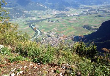
Trail Mountain bike of 63 km to be discovered at Valais/Wallis, Monthey, Vionnaz. This trail is proposed by maturin.

Description

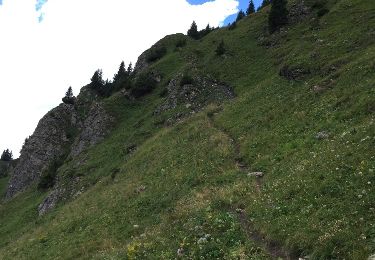
Départ depuis Plan de Croix / Torgon. Montée vers la Bourri. Depuis là, poussage jusqu''au col de Recon.

Sur la descente vers Chapelle d''Abondance, j''ai profité de faire un détour par le petit lac d''Arvoin (très joli).

Montée vers Clos Baron, et ensuite prendre le chemin forestier (assez facile) qui va en direction du Lac de Plagnes.

Montée vers les Chalets de Lens. Juste avant les chalets, il faut suivre l''itinéraire VTT qui passe par Les Covagnes. Descente direction Chatel.

Remontée vers le Pas de Morgin, Restaurant du Corbeau et Portes du Culet (c''est goudronné, là-haut).

Descente ves Torgon...il ne faut pas louper l''intersection (chemin forestion dans un virage). Bref, de toute façon, c''est indiquer...et retour vers le départ.

Elevation profile

Points of interest

Point of interest Abondance - Lac des plagnes - Photo
maturin
ABONDANCE 
Point of interest Châtel - Pas de morgins - Photo
maturin
Point of interest Troistorrents - Restaurant du corbeau - Photo
maturin
TROISTORRENTS 
Point of interest Troistorrents - Porte du Culet - Photo
maturin
TROISTORRENTS 
Point of interest La Chapelle-d'Abondance - Col de Recon - Photo
maturin
LA CHAPELLE-D'ABONDANCE 
Point of interest La Chapelle-d'Abondance - Lac d'arvin - Photo
maturin
LA CHAPELLE-D'ABONDANCE 
Point of interest La Chapelle-d'Abondance - Chapelle d'abondance - Photo
maturin
LA CHAPELLE-D'ABONDANCE 

Positioning

Country:
Switzerland
Region :
Valais/Wallis
Department/Province :
Monthey
Municipality :
Vionnaz
Location:
Unknown
Start:(Dec)
Start:(UTM)
334522 ; 5130382 (32T) N.

Trails nearby

Trail Walking La Chapelle-d'Abondance - Le Linleu 2093 m, depuis Sevan-devant - Photo
Walking
tracegps

Walking

Medium
(1)
La Chapelle-d'Abondance, Auvergne-Rhône-Alpes, Upper Savoy, France
5.1 km | 11.9 km-effort
3h 0min
Yes
Trail On foot Vouvry - Miex-Lac Tanay (via Prélagine) - Photo
On foot
GUIDE+

On foot

Easy
Vouvry, Valais/Wallis, Monthey, Switzerland
6.3 km | 9.9 km-effort
2h 15min
No
Trail On foot Vionnaz - Torgon village - Chalet de Blancsex - Photo
On foot
GUIDE+

On foot

Easy
Vionnaz, Valais/Wallis, Monthey, Switzerland
4.4 km | 8.7 km-effort
1h 58min
No
Trail On foot Vionnaz - Torgon village - Dravers - Photo
On foot
GUIDE+

On foot

Easy
Vionnaz, Valais/Wallis, Monthey, Switzerland
4 km | 8.3 km-effort
1h 53min
No
Trail Snowshoes Châtel - Petite  Châtel - Photo
Snowshoes
GUIDE
pascalou73

Snowshoes

Medium
Châtel, Auvergne-Rhône-Alpes, Upper Savoy, France
5.7 km | 10.6 km-effort
2h 0min
Yes
Trail Walking Vouvry - Lac Tanay - Photo
Walking
danihz

Walking

Medium
Vouvry, Valais/Wallis, Monthey, Switzerland
12.4 km | 22 km-effort
4h 45min
Yes
Trail Other activity La Chapelle-d'Abondance - chapelle d abondance Trebentaz chapelle d abondance - Photo
Other activity
patricee2p

Other activity

Difficult
La Chapelle-d'Abondance, Auvergne-Rhône-Alpes, Upper Savoy, France
13.9 km | 28 km-effort
4h 51min
Yes
Trail Walking La Chapelle-d'Abondance - Plainr de  Joux - Photo
Walking
helmut68

Walking

Medium
La Chapelle-d'Abondance, Auvergne-Rhône-Alpes, Upper Savoy, France
19.4 km | 29 km-effort
5h 24min
Yes
Trail Snowshoes Châtel - Châtel tennis - Chapelle d'Abond - Photo
Snowshoes
boisacq

Snowshoes

Very easy
Châtel, Auvergne-Rhône-Alpes, Upper Savoy, France
6.9 km | 10 km-effort
2h 31min
No


Close
My subscriptions