

Ahrsteig etappe 2 rondwandeling 25km.

flip96
User

Length
23 km

Max alt
554 m

Uphill gradient
524 m

Km-Effort
30 km

Min alt
429 m

Downhill gradient
524 m
Boucle
Yes
Creation date :
2014-12-10 00:00:00.0
Updated on :
2014-12-10 00:00:00.0
6h47
Difficulty : Medium

FREE GPS app for hiking
About
Trail Walking of 23 km to be discovered at North Rhine-Westphalia, Kreis Euskirchen, Blankenheim. This trail is proposed by flip96.
Description
Ahrsteig etappe 2 uitgebried tot rondwandeling 25km.
Ahrsteig zelf is een beetje tegenvallend. Door het toevoegen van enkele uitdagende paden is de complete rondwandeling wel geslaagd!
Totaal gezien weer een prachtige etappe!
Opmerkingen? flip96@home.nl
Positioning
Country:
Germany
Region :
North Rhine-Westphalia
Department/Province :
Kreis Euskirchen
Municipality :
Blankenheim
Location:
Unknown
Start:(Dec)
Start:(UTM)
338432 ; 5587611 (32U) N.
Comments
Trails nearby
EifelSchleife Über den Brotpfad


On foot
Easy
Blankenheim,
North Rhine-Westphalia,
Kreis Euskirchen,
Germany

12.2 km | 15.6 km-effort
3h 33min
Yes
EifelSchleife Freilinger See


On foot
Easy
Blankenheim,
North Rhine-Westphalia,
Kreis Euskirchen,
Germany

9.9 km | 12 km-effort
2h 44min
Yes
EifelSchleife Durchs Auelbachtal


On foot
Easy
Blankenheim,
North Rhine-Westphalia,
Kreis Euskirchen,
Germany

13.3 km | 16.8 km-effort
3h 48min
Yes
EifelSpur Toscana der Eifel


On foot
Medium
Blankenheim,
North Rhine-Westphalia,
Kreis Euskirchen,
Germany

15.3 km | 21 km-effort
4h 42min
Yes
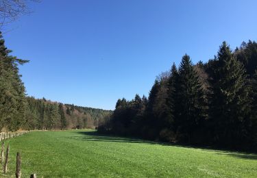
Eifelschleife Wo Bäche verschwinden


On foot
Easy
Blankenheim,
North Rhine-Westphalia,
Kreis Euskirchen,
Germany

10.4 km | 13 km-effort
2h 57min
Yes

EifelSchleife Zum Kalkofen


On foot
Easy
Blankenheim,
North Rhine-Westphalia,
Kreis Euskirchen,
Germany

7.7 km | 9.7 km-effort
2h 12min
Yes

Duitsland - Eifelsteig 06: Ripsdorf - Kerpen


Other activity
Medium
Blankenheim,
North Rhine-Westphalia,
Kreis Euskirchen,
Germany

27 km | 34 km-effort
7h 15min
No


 SityTrail


