


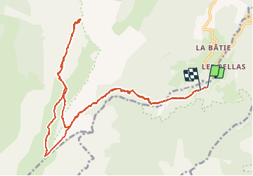

12.1 km | 23 km-effort

User GUIDE


FREE GPS app for hiking
 SityTrail
IGN / Geographical institutes
SityTrail World
The world is yours!
Trail Walking of 14.3 km to be discovered at Auvergne-Rhône-Alpes, Isère, Saint-Michel-les-Portes. This trail is proposed by nadd73.
Départ après la Bâtie,
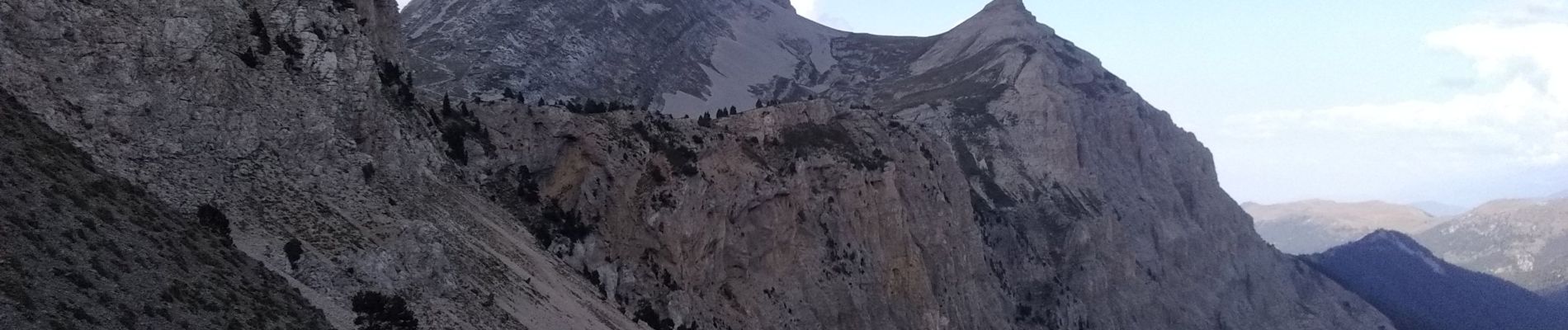
Montée direction le pas du Bachasson mais avant la falaise prendre la sente aérienne à droite, câbles. Et le sommet évident.
Descente par le pas Du Bachasson.
Pour personne ayant le pied sûr.


Walking

Walking

Walking

Walking

Walking
Walking

Walking

Walking

Walking
Belle course.