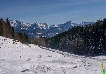
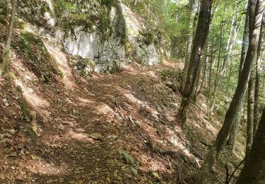
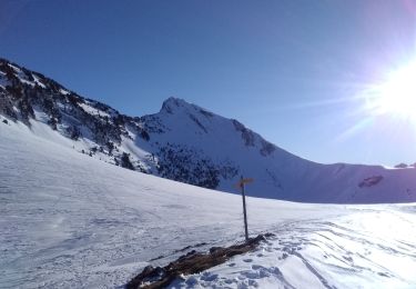
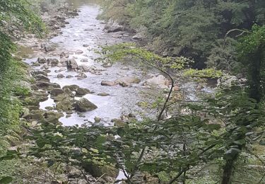
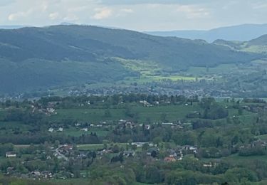
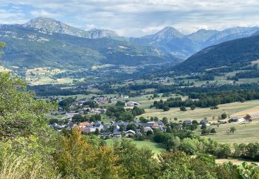
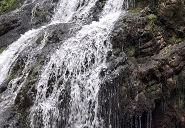
Trail Walking Arith - col de la cochette...creux de wlachat - Photo

col de la cochette...creux de wlachat

 margotte
margotte

User

© OpenStreetMap contributors
Length
Length
13.6 km
Max alt
Max alt
1442 m
Uphill gradient
Uphill gradient
816 m
Km-Effort
Km-Effort  
24 km
Min alt
Min alt
888 m
Downhill gradient
Downhill gradient
821 m
Boucle
Boucle
Yes
Creation date :
2020-09-14 07:10:32.042
Updated on :
2020-09-14 12:53:51.464

(0 Reviews)

Walking
Walking
3h29
Difficulty : Medium

Scan this QR Code to open this trail in the SityTrail application

FREE GPS app for hiking

Logo SityTrail SityTrail

IGN / Geographical institutes

Download SityTrail from the App Store Download SityTrail from Google Play

Logo SityTrail SityTrail World

The world is yours!

Download SityTrail from the App Store Download SityTrail from Google Play Download SityTrail on Huawei AppGallery

About

Trail Walking of 13.6 km to be discovered at Auvergne-Rhône-Alpes, Savoy, Arith. This trail is proposed by margotte.

Elevation profile

Positioning

Country:
France
Region :
Auvergne-Rhône-Alpes
Department/Province :
Savoy
Municipality :
Arith
Location:
Unknown
Start:(UTM)
271644 ; 5066464 (32T) N.

Trails nearby

Trail Walking Arith - La Montagne de Bange 1434m, depuis Montagny - Photo
Walking
tracegps

Walking

Medium
(1)
Arith, Auvergne-Rhône-Alpes, Savoy, France
10.5 km | 18.5 km-effort
3h 45min
Yes
Trail Walking Cusy - 13-09-2022 La Grand-Raie au Col de la Cochette - Photo
Walking
GUIDE
Kargil

Walking

Very difficult
Cusy, Auvergne-Rhône-Alpes, Upper Savoy, France
18.2 km | 35 km-effort
5h 24min
Yes
Trail Touring skiing Le Châtelard - col de Rossanaz - Photo
Touring skiing
GUIDE
nadd73

Touring skiing

Difficult
Le Châtelard, Auvergne-Rhône-Alpes, Savoy, France
10.6 km | 24 km-effort
5h 0min
Yes
Trail Walking Cusy - Les chaos de Cheran - Photo
Walking
GUIDE
Kargil

Walking

Medium
Cusy, Auvergne-Rhône-Alpes, Upper Savoy, France
17.1 km | 25 km-effort
4h 21min
Yes
Trail Walking Saint-Offenge - Saint-Offenge-Dessous  Cusy - Photo
Walking
michel.pegaz

Walking

Medium
(1)
Saint-Offenge, Auvergne-Rhône-Alpes, Savoy, France
7.4 km | 10.1 km-effort
2h 18min
Yes
Trail Walking Arith - Col de la couchette en boucle avec passage au refuge - Photo
Walking
choubaka77

Walking

Easy
Arith, Auvergne-Rhône-Alpes, Savoy, France
12.9 km | 22 km-effort
4h 17min
Yes
Trail Walking Le Châtelard - Cascade du Pissieu - Photo
Walking
mallovon

Walking

Easy
Le Châtelard, Auvergne-Rhône-Alpes, Savoy, France
3.8 km | 4.8 km-effort
1h 5min
Yes
Trail Walking Arith - Chalet de la Plate, col de la Cochette... - Photo
Walking
Annie21

Walking

Easy
Arith, Auvergne-Rhône-Alpes, Savoy, France
13.6 km | 23 km-effort
5h 24min
Yes
Trail Walking Saint-François-de-Sales - La Plate_G1 - Photo
Walking

Walking

Medium
(1)
Saint-François-de-Sales, Auvergne-Rhône-Alpes, Savoy, France
8.7 km | 11.9 km-effort
2h 41min
Yes


Close
My subscriptions