


31 km | 41 km-effort


User


FREE GPS app for hiking
 SityTrail
IGN / Geographical institutes
SityTrail World
The world is yours!
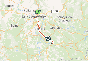
Trail Walking of 20 km to be discovered at Auvergne-Rhône-Alpes, Haute-Loire, Le Puy-en-Velay. This trail is proposed by DanielROLLET.
2020 09 13 - 08:00 à 14:50
Temps trés chaud (31°)
Départ Hôtel Bristol au Puy / Arrivée camping l'Estéla au Monastier sur Gazeille
Pause au-dessus de l'Herm 12:30 à 13:15
Visite église du Monastier
Hébergement chalet du camping l'Estéla (trés bien)

Walking

Walking

Walking

Walking
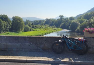
Electric bike
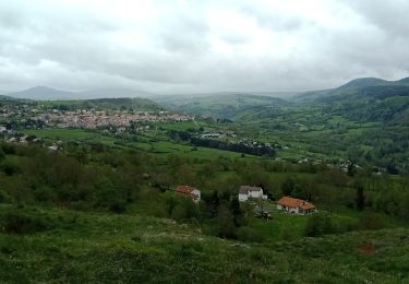
Walking
Walking

Electric bike

Electric bike