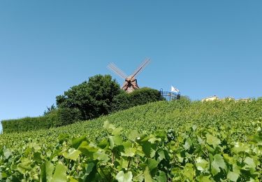
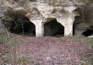
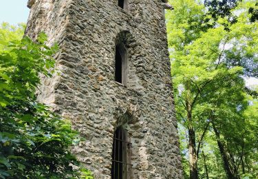
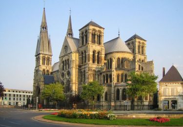
Trail Walking Bouzy - bouzy rando pnr - Photo

bouzy rando pnr

© OpenStreetMap contributors
Length
Length
8.8 km
Max alt
Max alt
279 m
Uphill gradient
Uphill gradient
218 m
Km-Effort
Km-Effort  
11.7 km
Min alt
Min alt
109 m
Downhill gradient
Downhill gradient
219 m
Boucle
Boucle
Yes
Creation date :
2020-09-13 07:36:50.387
Updated on :
2020-09-13 09:43:03.638

(0 Reviews)

Walking
Walking
1h58
Difficulty : Medium

Scan this QR Code to open this trail in the SityTrail application

FREE GPS app for hiking

Logo SityTrail SityTrail

IGN / Geographical institutes

Download SityTrail from the App Store Download SityTrail from Google Play

Logo SityTrail SityTrail World

The world is yours!

Download SityTrail from the App Store Download SityTrail from Google Play Download SityTrail on Huawei AppGallery

About

Trail Walking of 8.8 km to be discovered at Grand Est, Marne, Bouzy. This trail is proposed by MarieDeBacker.

Description

13 ème rando pnr montagne reims

Elevation profile

Positioning

Country:
France
Region :
Grand Est
Department/Province :
Marne
Municipality :
Bouzy
Location:
Unknown
Start:(UTM)
584353 ; 5436918 (31U) N.

Trails nearby

Trail Walking Trépail - Trépail 8,5 kms - Photo
Walking
quatre sans cinq

Walking

Medium
(1)
Trépail, Grand Est, Marne, France
7.9 km | 9.6 km-effort
1h 49min
Yes
Trail Walking Trépail - Trépail du 12 Juin 2022 - Photo
Walking
GUIDE
VANDERPUTTENMi

Walking

Very difficult
Trépail, Grand Est, Marne, France
21 km | 26 km-effort
4h 30min
Yes
Trail Walking Trépail - Les Faux de Verzy - rando Gps - Photo
Walking
tracegps

Walking

Difficult
Trépail, Grand Est, Marne, France
22 km | 28 km-effort
5h 30min
Yes
Trail Walking Val de Livre - trytu - Photo
Walking
remi.servel

Walking

Medium
Val de Livre, Grand Est, Marne, France
7.9 km | 11.5 km-effort
3h 5min
Yes
Trail Walking Condé-sur-Marne - Chemin de Compostelle, Voie de Vézelay GR654® De Condé sur Marne à Châlons en Champagne - Photo
Walking
tracegps

Walking

Difficult
Condé-sur-Marne, Grand Est, Marne, France
20 km | 22 km-effort
4h 0min
No
Trail sport Condé-sur-Marne - Étape 2 Conde/Marne jusqu’à Chatelraould ST.  Lou  - Photo
sport
Roydger

sport

Very easy
(1)
Condé-sur-Marne, Grand Est, Marne, France
74 km | 81 km-effort
Unknown
No
Trail Bicycle tourism Condé-sur-Marne - Condé-Reims 36 km - Photo
Bicycle tourism
GUIDE
jeanmarcMasson

Bicycle tourism

Difficult
Condé-sur-Marne, Grand Est, Marne, France
36 km | 39 km-effort
3h 9min
No
Trail Mountain bike Bouzy - Florent Sabine JP Thierry Arnaud Alain Pascal  - Photo
Mountain bike
pepebru

Mountain bike

Very easy
Bouzy, Grand Est, Marne, France
25 km | 32 km-effort
2h 59min
Yes
Trail Mountain bike Ambonnay - 05122020 - Photo
Mountain bike
pepebru

Mountain bike

Medium
Ambonnay, Grand Est, Marne, France
24 km | 29 km-effort
2h 34min
No


Close
My subscriptions