


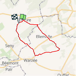


22 km | 28 km-effort


User


FREE GPS app for hiking
 SityTrail
IGN / Geographical institutes
SityTrail World
The world is yours!
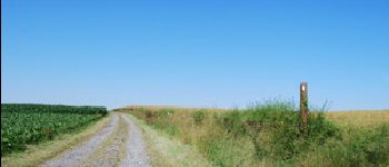
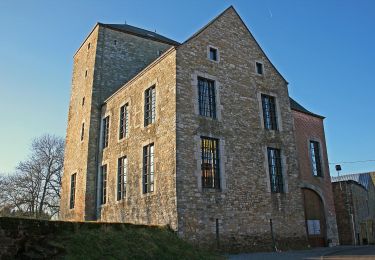
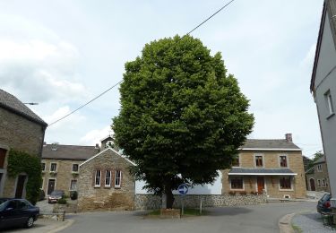
Trail Equestrian of 10.3 km to be discovered at Wallonia, Liège, Tinlot. This trail is proposed by tourcondroz.
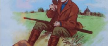
Jean Bouvier était, avec sa femme La Naine, le meilleur ami du D’Zy. Il le ravitaillait en produits frais et le prévenait des dangers le menaçant. C’était chez lui que Ramette son chien se réfugiait en cas de problèmes.
Balise: fer à cheval orange


Walking


Walking

Walking

Mountain bike

Walking
On foot
On foot

Walking