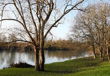
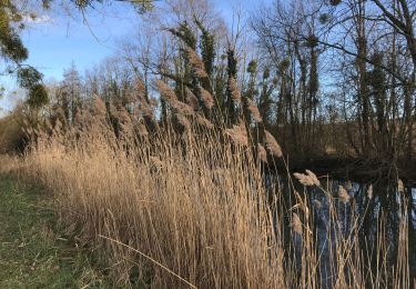
10.2 km | 11.5 km-effort
Esclavolles-Lurey Les éoliènes
Alain Picard
User
Length
9 km
Max alt
125 m
Uphill gradient
92 m
Km-Effort
10.3 km
Min alt
63 m
Downhill gradient
92 m
Boucle
Yes
Creation date :
2020-09-11 15:26:14.078
Updated on :
2020-09-11 15:32:13.074
2h15
Difficulty : Medium
FREE GPS app for hiking
About
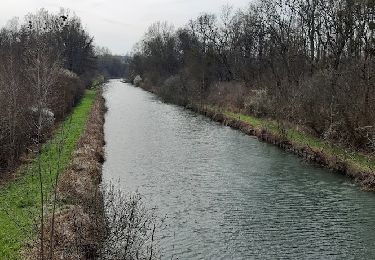
Trail Walking of 9 km to be discovered at Grand Est, Marne, Esclavolles-Lurey. This trail is proposed by Alain Picard.
Positioning
Country:
France
Region :
Grand Est
Department/Province :
Marne
Municipality :
Esclavolles-Lurey
Location:
Unknown
Start:(Dec)
Start:(UTM)
548474 ; 5377909 (31U) N.
Comments
Trails nearby
entre Pont sur SEINE et MARNAY
Walking
Difficult
(1)
Pont-sur-Seine,
Grand Est,
Aube,
France
13.1 km | 13.8 km-effort
2h 43min
Yes
ENTRE CONFLANS SUR SEINE ET MARCILLY SUR SEINE
Walking
Medium
Conflans-sur-Seine,
Grand Est,
Marne,
France
10.7 km | 11.7 km-effort
2h 39min
Yes
au départ de CONFLANS sur SEINE
Walking
Easy
Conflans-sur-Seine,
Grand Est,
Marne,
France
15.7 km | 17.5 km-effort
3h 17min
No
tournée esclavolles-lurey
Walking
Easy
Esclavolles-Lurey,
Grand Est,
Marne,
France
3.8 km | 3.9 km-effort
50min
Yes
esclavolles-lurey, Périgny
Walking
Easy
Esclavolles-Lurey,
Grand Est,
Marne,
France
9.8 km | 11 km-effort
1h 58min
Yes
De Pont sur Seine à Marnay
Walking
Easy
(1)
Pont-sur-Seine,
Grand Est,
Aube,
France
13.4 km | 14.1 km-effort
2h 38min
Yes
Esclavolles Esclavolles via éoliennes et Potangis
Walking
Medium
Esclavolles-Lurey,
Grand Est,
Marne,
France
10.1 km | 11.9 km-effort
2h 36min
Yes
La Villeneuve au Châtelot, Courtavant
On foot
Easy
La Villeneuve-au-Châtelot,
Grand Est,
Aube,
France
7.4 km | 8.1 km-effort
2h 10min
Yes