


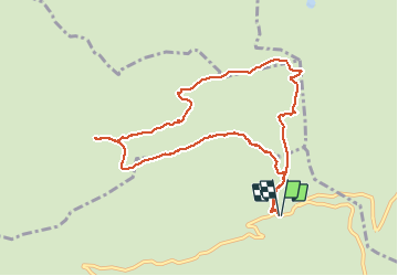


8 km | 11.6 km-effort

User


FREE GPS app for hiking
 SityTrail
IGN / Geographical institutes
SityTrail World
The world is yours!
Trail Walking of 9.6 km to be discovered at Auvergne-Rhône-Alpes, Upper Savoy, Manigod. This trail is proposed by djeepee74.
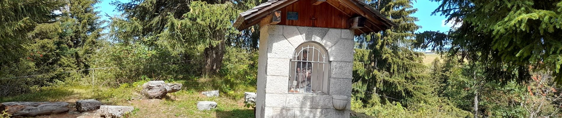
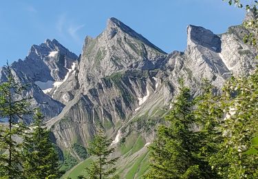
BOUCLE... live le 20200909. Les photos du tracé datent du 09 septembre 2020... les autres sont du 04 septembre 2019.


23 photos in total. Please click on a photo to see them all in the gallery.

Snowshoes

Walking

Walking

Snowshoes

Snowshoes

Mountain bike
Mountain bike

Motor
Walking