


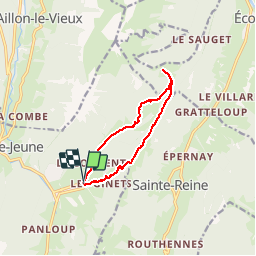

13.9 km | 29 km-effort


User


FREE GPS app for hiking
 SityTrail
IGN / Geographical institutes
SityTrail World
The world is yours!
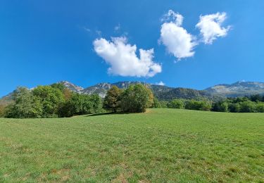
Trail Snowshoes of 10 km to be discovered at Auvergne-Rhône-Alpes, Savoy, Aillon-le-Jeune. This trail is proposed by GGsavoie.
Départ du bas des pistes d'Aillon Le jeune. Montée rapide et raide sur la crête en direction des chalets de La Fullie. Suivre la crête jusq'au chalets. Retour par le vallon. Belle neige. Ballade duperbe par beau-temps. Ce ,'était pas notre cas
Walking

Walking

Walking

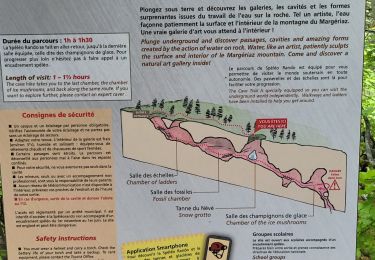
Snowshoes
Walking
Walking
Walking
Walking
Walking