


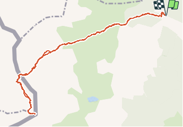


5.4 km | 7.4 km-effort

User


FREE GPS app for hiking
 SityTrail
IGN / Geographical institutes
SityTrail World
The world is yours!
Trail Walking of 14.8 km to be discovered at New Aquitaine, Pyrénées-Atlantiques, Lescun. This trail is proposed by bedous.
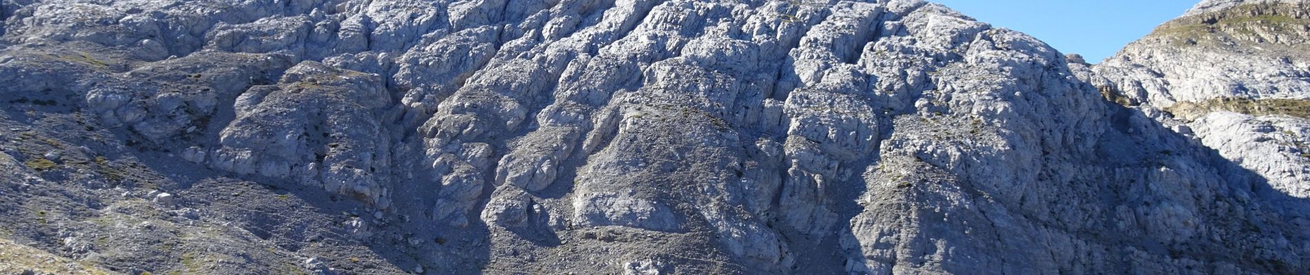
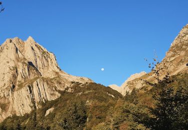
Afin de bénéficier d'un panorama "merveilleux" il vous faudra monter par un sentier assez raide, par foret, prairie, cailloux, rochers..
S'adresse à de bons randonneurs.
Le résultat vaut largement les efforts........


31 photos in total. Please click on a photo to see them all in the gallery.

Walking

Walking

On foot

On foot

On foot

Walking

Walking

Walking
Walking