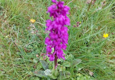
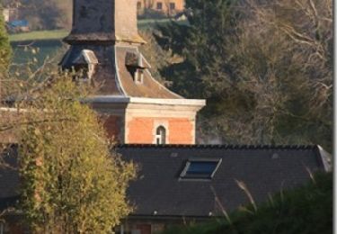
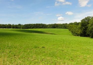
22 km | 27 km-effort
Liessies
chanthan
User
Length
5.6 km
Max alt
229 m
Uphill gradient
86 m
Km-Effort
6.7 km
Min alt
164 m
Downhill gradient
87 m
Boucle
Yes
Creation date :
2020-09-08 13:42:44.758
Updated on :
2020-09-08 13:46:15.393
--
Difficulty : Easy
FREE GPS app for hiking
About
Trail On foot of 5.6 km to be discovered at Hauts-de-France, Nord, Liessies. This trail is proposed by chanthan.
Description
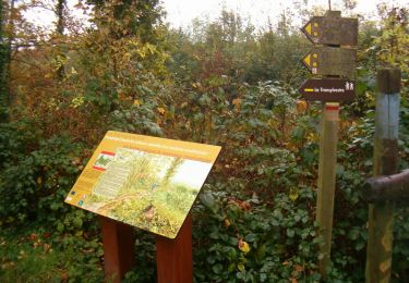
Départ Liessies Parking du parc de l'Abbaye en passant devant l'église ; Coordonnées E 4.0838 N 50.1201
Positioning
Country:
France
Region :
Hauts-de-France
Department/Province :
Nord
Municipality :
Liessies
Location:
Unknown
Start:(Dec)
Start:(UTM)
577375 ; 5552481 (31U) N.
Comments
Trails nearby
felleries 17,5 km
Walking
Easy
Felleries,
Hauts-de-France,
Nord,
France
17.7 km | 19.9 km-effort
4h 43min
Yes
entre 2 averses
Walking
Easy
(1)
Trélon,
Hauts-de-France,
Nord,
France
8.4 km | 10.1 km-effort
1h 45min
Yes
Liessies 7 km 10062024
Nordic walking
Very easy
(1)
Liessies,
Hauts-de-France,
Nord,
France
7 km | 7.8 km-effort
Unknown
Yes
20180525-Val_Joly-Tour_lac-18km
Walking
Medium
(4)
Willies,
Hauts-de-France,
Nord,
France
18.2 km | 23 km-effort
5h 1min
Yes
Randonnée ornithologique du Valjoly
Walking
Medium
Eppe-Sauvage,
Hauts-de-France,
Nord,
France
4.1 km | 4.9 km-effort
3h 0min
Yes
Week-end de randonnée autour du Val Joly - Liessies
Walking
Difficult
Liessies,
Hauts-de-France,
Nord,
France
44 km | 53 km-effort
11h 0min
Yes
mrlobo
Walking
Very easy
Liessies,
Hauts-de-France,
Nord,
France
7.9 km | 9.3 km-effort
1h 56min
Yes