


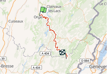

36 km | 46 km-effort


User


FREE GPS app for hiking
 SityTrail
IGN / Geographical institutes
SityTrail World
The world is yours!
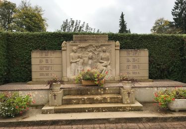
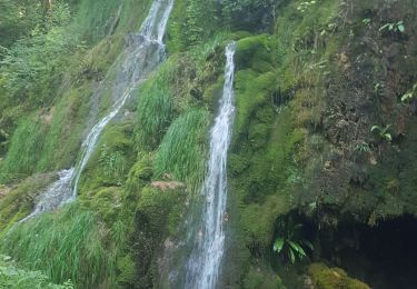
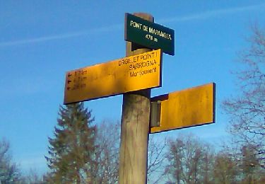
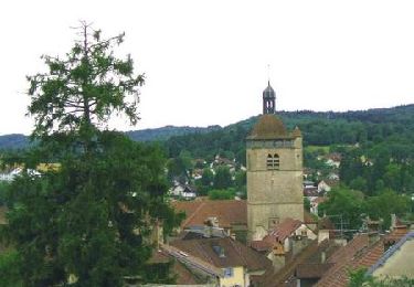
Trail Trail of 72 km to be discovered at Bourgogne-Franche-Comté, Jura, Orgelet. This trail is proposed by Bino39.
Pour Julien

Mountain bike
Walking
Walking
Mountain bike
On foot
Walking

Walking
Walking
Cycle