


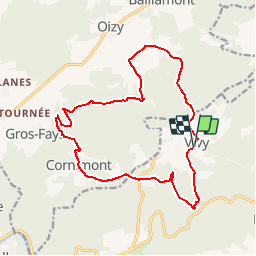

21 km | 27 km-effort


User


FREE GPS app for hiking
 SityTrail
IGN / Geographical institutes
SityTrail World
The world is yours!
Trail Walking of 12.5 km to be discovered at Wallonia, Luxembourg, Bouillon. This trail is proposed by ramagufa.
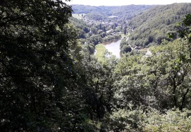
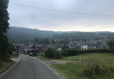
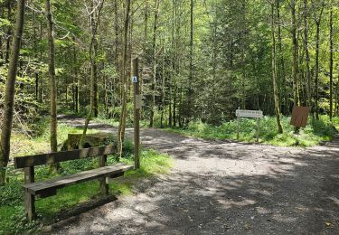
Randonnée que j'appelle "les trois moulins" car de Vivy on part vers le Moulin de Mitauge pour se diriger vers le Moulin de Gros-Fays et retour par le Moulin de la Lîresse.

Walking

Walking

Walking

Walking

Walking
Walking
Walking
Walking

Walking