


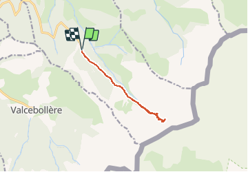

5.4 km | 8.6 km-effort


User


FREE GPS app for hiking
 SityTrail
IGN / Geographical institutes
SityTrail World
The world is yours!
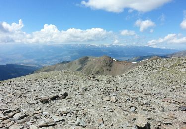
Trail Snowshoes of 10.6 km to be discovered at Occitania, Pyrénées-Orientales, Err. This trail is proposed by motardes04.
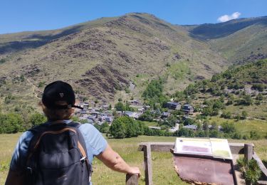
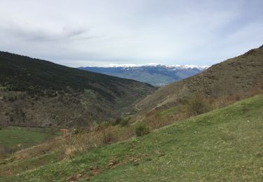
Conditions météo moyennes, redescente avant l'arrivée des nuages et neige
Walking

Walking
Walking

Walking
Walking

Walking
Walking

Walking

Snowshoes