Trail Running Béhen - Les Alleux - Photo
© OpenStreetMap contributors
Length
Length
8.3 km
Max alt
Max alt
111 m
Uphill gradient
Uphill gradient
35 m
Km-Effort
Km-Effort  
8.8 km
Min alt
Min alt
100 m
Downhill gradient
Downhill gradient
35 m
Boucle
Boucle
Yes
Creation date :
2020-09-05 15:21:36.0
Updated on :
2020-09-05 16:26:53.732

(0 Reviews)

Running
Running
55m
Difficulty : Unknown

Scan this QR Code to open this trail in the SityTrail application

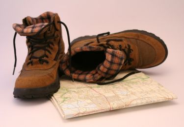
FREE GPS app for hiking

Logo SityTrail SityTrail

IGN / Geographical institutes

Download SityTrail from the App Store Download SityTrail from Google Play

Logo SityTrail SityTrail World

The world is yours!

Download SityTrail from the App Store Download SityTrail from Google Play Download SityTrail on Huawei AppGallery

About

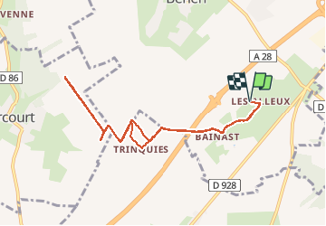
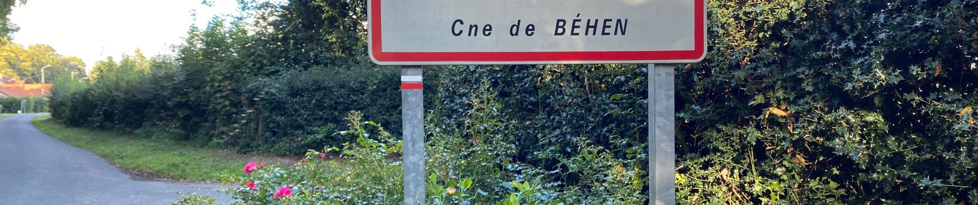
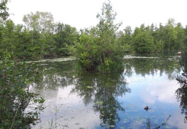
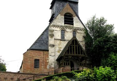
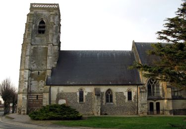
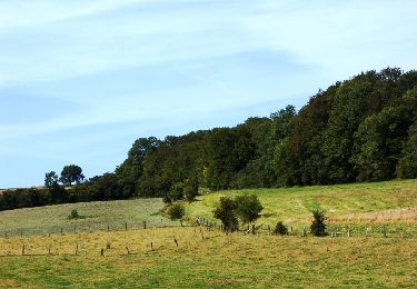
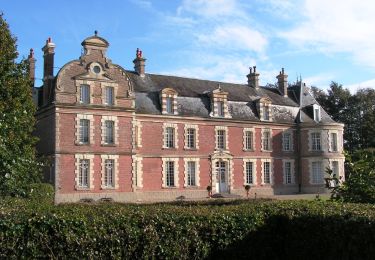
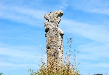
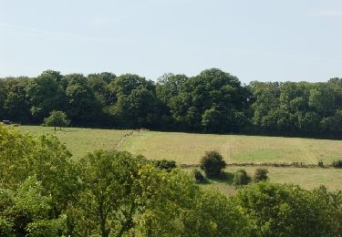
Trail Running of 8.3 km to be discovered at Hauts-de-France, Somme, Béhen. This trail is proposed by Michel Tondus.

Description

Suivi de la GR 125 vers le nord

Elevation profile

Photos

Positioning

Country:
France
Region :
Hauts-de-France
Department/Province :
Somme
Municipality :
Béhen
Location:
Unknown
Start:(UTM)
411747 ; 5544272 (31U) N.

Trails nearby

Trail Walking Moyenneville - Le rideau Favery - Moyenneville - Photo
Walking
tracegps

Walking

Very difficult
(1)
Moyenneville, Hauts-de-France, Somme, France
13.9 km | 16.4 km-effort
4h 30min
Yes
Trail Road bike Béhen - Béhen Huppy Boëncourt - Photo
Road bike
Michel Tondus

Road bike

Easy
Béhen, Hauts-de-France, Somme, France
11.9 km | 12.8 km-effort
59min
Yes
Trail Walking Mareuil-Caubert - Au travers des étangs  - Photo
Walking
Luc Gengoux

Walking

Very easy
Mareuil-Caubert, Hauts-de-France, Somme, France
3.7 km | 3.9 km-effort
1h 16min
Yes
Trail On foot Mareuil-Caubert - La Vallée de Frosme - Photo
On foot
PRO

On foot

Easy
Mareuil-Caubert, Hauts-de-France, Somme, France
9.1 km | 11.5 km-effort
2h 37min
Yes
Trail On foot Béhen - Vallée de Bienfay - Photo
On foot
PRO

On foot

Easy
Béhen, Hauts-de-France, Somme, France
10.5 km | 11.7 km-effort
2h 39min
Yes
Trail Walking Huchenneville - Circuit d'Inval - Hucheneville - Photo
Walking
tracegps

Walking

Difficult
Huchenneville, Hauts-de-France, Somme, France
9.8 km | 12.8 km-effort
3h 0min
Yes
Trail Walking Moyenneville - La Vallée de Bienfay - Photo
Walking
tracegps

Walking

Difficult
Moyenneville, Hauts-de-France, Somme, France
10.4 km | 11.7 km-effort
3h 10min
Yes
Trail Walking Tœufles - Circuit de Toeufles - Photo
Walking
tracegps

Walking

Very difficult
Tœufles, Hauts-de-France, Somme, France
13.6 km | 15.9 km-effort
4h 40min
Yes
Trail Walking Mareuil-Caubert - La Vallée de Frosme - Photo
Walking
tracegps

Walking

Medium
(1)
Mareuil-Caubert, Hauts-de-France, Somme, France
9 km | 11.4 km-effort
3h 0min
Yes


Close
My subscriptions