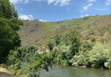
18 km | 27 km-effort
la Chapelle St Jean le Froid
viam19
User
Length
13 km
Max alt
553 m
Uphill gradient
378 m
Km-Effort
18.1 km
Min alt
379 m
Downhill gradient
377 m
Boucle
Yes
Creation date :
2020-09-05 07:28:55.767
Updated on :
2020-09-18 16:03:35.169
6h12
Difficulty : Medium
FREE GPS app for hiking
About
Trail Walking of 13 km to be discovered at Occitania, Aveyron, Nauviale. This trail is proposed by viam19.
Positioning
Country:
France
Region :
Occitania
Department/Province :
Aveyron
Municipality :
Nauviale
Location:
Unknown
Start:(Dec)
Start:(UTM)
456156 ; 4928274 (31T) N.
Comments
Trails nearby
Le Sentier des Croix
On foot
Easy
Conques-en-Rouergue,
Occitania,
Aveyron,
France
5.4 km | 9.5 km-effort
2h 9min
No
De la Vigne à la Forêt
On foot
Easy
Marcillac-Vallon,
Occitania,
Aveyron,
France
10.1 km | 14.1 km-effort
3h 11min
Yes
Le Puech du Cayla
On foot
Easy
Marcillac-Vallon,
Occitania,
Aveyron,
France
5.5 km | 7.9 km-effort
1h 47min
No
chemin Gare de Saint-Christophe - Conques
On foot
Easy
Nauviale,
Occitania,
Aveyron,
France
6.9 km | 8 km-effort
1h 48min
No
Le Causse Comtal
On foot
Easy
Mouret,
Occitania,
Aveyron,
France
11.1 km | 15.5 km-effort
3h 31min
Yes
Le Puech du Cayla
Walking
Very easy
Saint-Christophe-Vallon,
Occitania,
Aveyron,
France
11.5 km | 15.7 km-effort
4h 59min
Yes
le puech du cayla
Walking
Difficult
Saint-Christophe-Vallon,
Occitania,
Aveyron,
France
9.7 km | 12.9 km-effort
2h 52min
Yes
Saint cyprien figeai
sport
Very easy
Conques-en-Rouergue,
Occitania,
Aveyron,
France
72 km | 88 km-effort
Unknown
No