


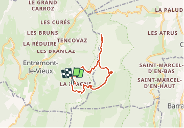


12.7 km | 23 km-effort


User


FREE GPS app for hiking
 SityTrail
IGN / Geographical institutes
SityTrail World
The world is yours!
Trail Walking of 12.8 km to be discovered at Auvergne-Rhône-Alpes, Savoy, Entremont-le-Vieux. This trail is proposed by choubaka77.
Une des plus belle randonnée réalisée à ce jour.
Mais la montée !!! Et la descente !!!!!!!!
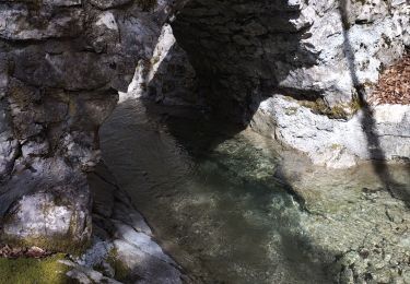
De superbes panoramas à la montée qui est très ludique. À déconseiller avec des enfants ou des adultes sans entraînement.


41 photos in total. Please click on a photo to see them all in the gallery.
Walking

Walking

Walking

Walking

Walking

Snowshoes

Walking

Walking

Walking