


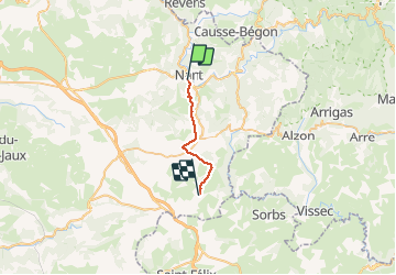

13.5 km | 15.6 km-effort


User


FREE GPS app for hiking
 SityTrail
IGN / Geographical institutes
SityTrail World
The world is yours!
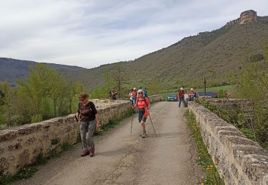
Trail Walking of 16.1 km to be discovered at Occitania, Aveyron, Nant. This trail is proposed by pcugnod.
L’appli a buggé au départ

Walking
Walking

Walking

Walking

Walking


Walking

Walking

Running