


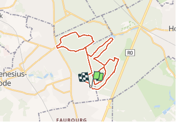


23 km | 28 km-effort

User


FREE GPS app for hiking
 SityTrail
IGN / Geographical institutes
SityTrail World
The world is yours!
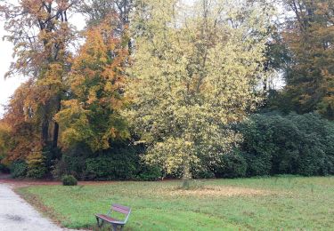
Trail Walking of 18 km to be discovered at Flanders, Flemish Brabant, Sint-Genesius-Rode. This trail is proposed by SECHEHAYEMARC.
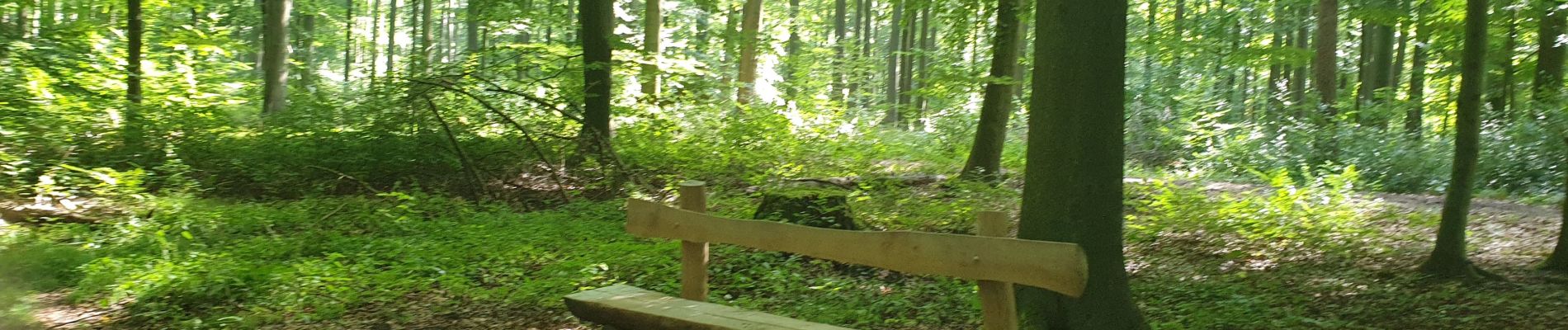
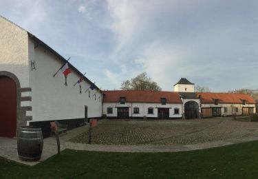
Marche en Forêt de Soignes
Marche à pied


94 photos in total. Please click on a photo to see them all in the gallery.

Walking

Walking

Mountain bike

Walking

Mountain bike

Walking
Cycle
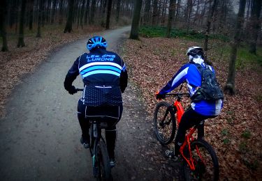
Mountain bike
Walking