


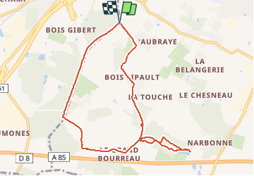


8.4 km | 10.1 km-effort

User


FREE GPS app for hiking
 SityTrail
IGN / Geographical institutes
SityTrail World
The world is yours!
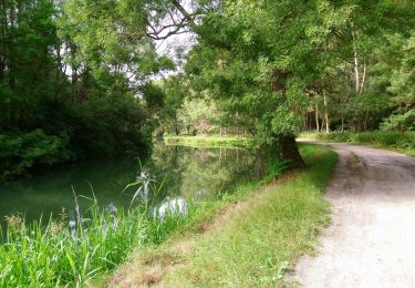
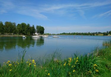
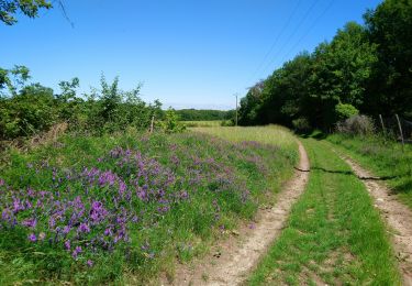
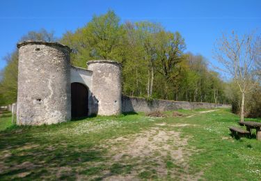
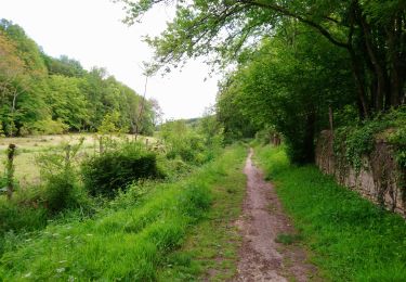
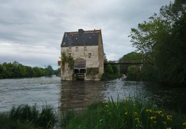
Trail Walking of 9.1 km to be discovered at Centre-Loire Valley, Indre-et-Loire, Joué-lès-Tours. This trail is proposed by gerardbenchetrit.
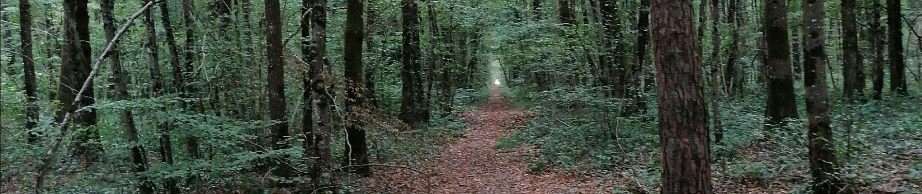
Chemin mi ombragé mi boisé ; champs calcicoles, vergers.


Walking
Walking
Walking
Walking
Walking
Walking
Walking
Walking

Walking