


8.9 km | 13.7 km-effort

User GUIDE


FREE GPS app for hiking
 SityTrail
IGN / Geographical institutes
SityTrail World
The world is yours!
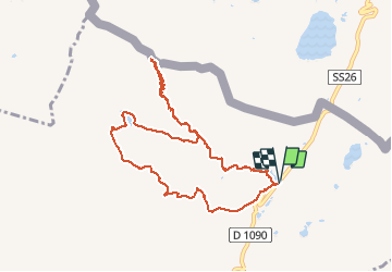
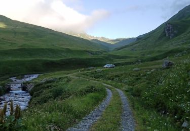
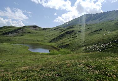
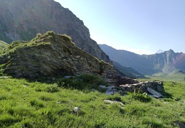
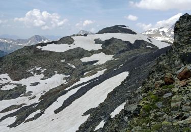
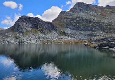
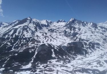
Trail Walking of 10.3 km to be discovered at Auvergne-Rhône-Alpes, Savoy, Séez. This trail is proposed by amiral13.
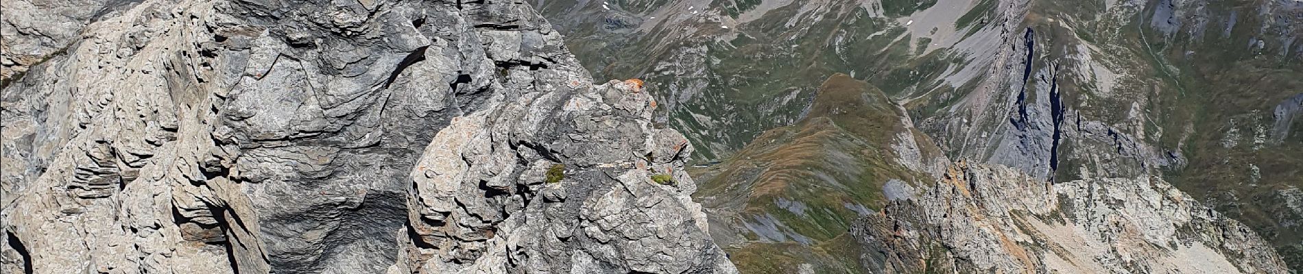
un très beau point de vue sur le massif du mont Blanc,les alpes suisses et italiennes, mais aussi vers le sud jusqu'au massif des écrins.
le sentier est bon.


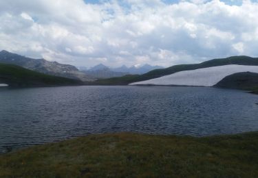
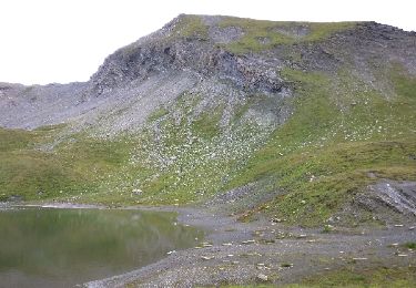
22 photos in total. Please click on a photo to see them all in the gallery.
Walking
Walking
Walking
Walking
Walking
Walking
Walking

Walking
Touring skiing