


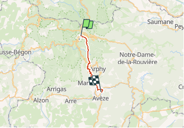

13.9 km | 19.6 km-effort


User


FREE GPS app for hiking
 SityTrail
IGN / Geographical institutes
SityTrail World
The world is yours!
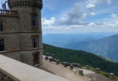
Trail Walking of 19.4 km to be discovered at Occitania, Gard, Val-d'Aigoual. This trail is proposed by DanielROLLET.
2020 08 26 - avec Marie - 08:20 à 15:30
Départ Hôtel du Parc l'Espérou
Bu un café à l'auberge de Puechagut (11:15)
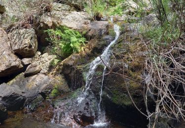
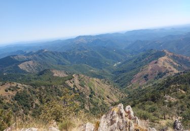
Beau panorama à l'auberge de la Cravate (Les Perriers)
Pique-nique dans clairière point coté 861
Bu un café à Aulas à 14:00
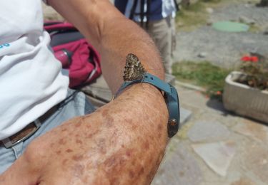
Coup de chaleur à Aulas (36°)
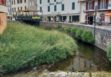
Arrivée Hôtel Le Mas de la Prairie au Vigan à 15h30
Trés difficile cause descente dans la chaleur
Walking

Walking
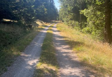
Walking
Walking
Walking

Walking
Walking
Walking

Walking