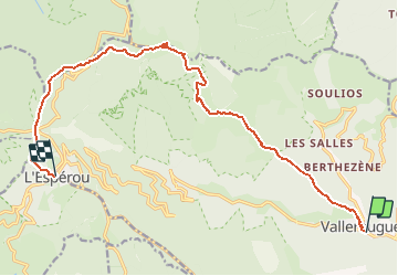

13.9 km | 19.6 km-effort


User


FREE GPS app for hiking
 SityTrail
IGN / Geographical institutes
SityTrail World
The world is yours!
Trail Walking of 15.4 km to be discovered at Occitania, Gard, Val-d'Aigoual. This trail is proposed by DanielROLLET.
2020 08 25 - avec Marie - 07:50à 15:50
Départ Hôtel des Bruyères Valleraugue, arrivée Hôtel du Parc l'Espérou
Pique-nique 12:20 à 13:50 Mont Aigoual
Perdu un peu de temps dans la montée. Fallait-il prendre les bâtons?
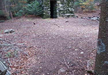
Walking

Walking

Walking

Walking
Walking

On foot

Walking
Walking