


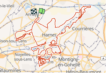

34 km | 36 km-effort


User


FREE GPS app for hiking
 SityTrail
IGN / Geographical institutes
SityTrail World
The world is yours!
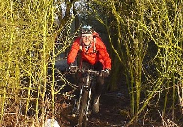
Trail Mountain bike of 44 km to be discovered at Hauts-de-France, Pas-de-Calais, Annay. This trail is proposed by cnockaert.
Première sortie de l'année en VTT, le 23 février, difficile physiquement pour la première sortie. J'ai mis 4 heures pour la faire.

Hybrid bike
Electric bike
Cycle

Running

Walking
Electric bike
Mountain bike
Walking
Walking