


4.2 km | 5.2 km-effort

User GUIDE


FREE GPS app for hiking
 SityTrail
IGN / Geographical institutes
SityTrail World
The world is yours!
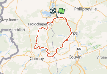
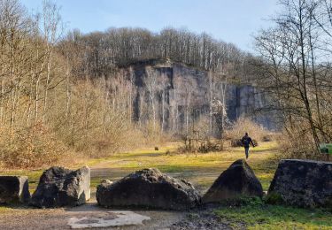
Trail Mountain bike of 52 km to be discovered at Wallonia, Namur, Cerfontaine. This trail is proposed by pascalou73.
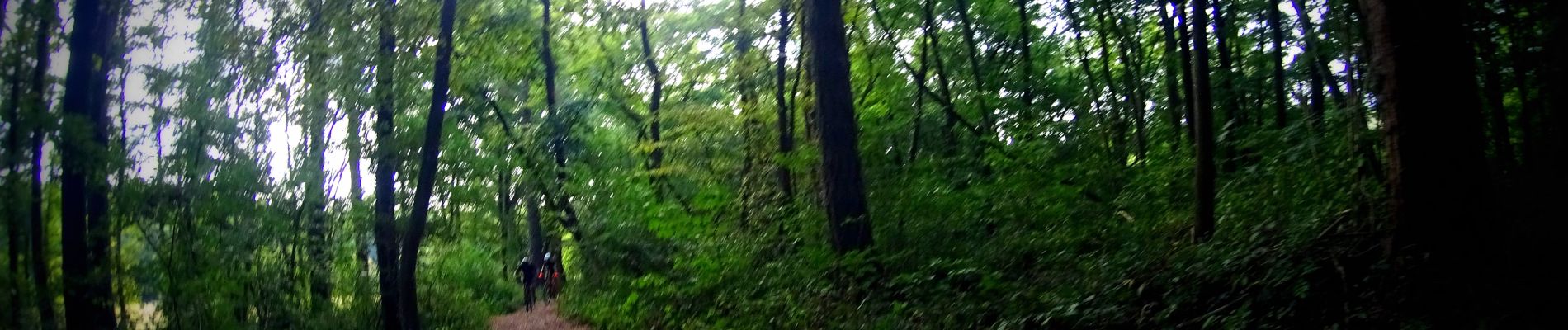
Voilà un VTT au départ du village de Cerfontaine une randonnée qui va vous faire découvrire la région par de très beau sentier et vous pourrez voir un des plus beaux villages de Wallonie Lompret. qui se situe à 5 km de Chimay .Une randonnée avec de très beau passage boisé et dans les campagnes..


Walking
Walking

Walking

Walking
Walking
Walking
Walking
Walking
On foot
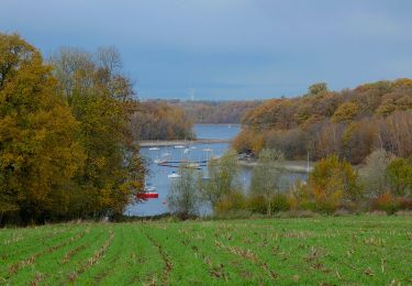
superbe rando