


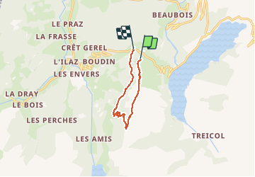


8.2 km | 17.9 km-effort

User


FREE GPS app for hiking
 SityTrail
IGN / Geographical institutes
SityTrail World
The world is yours!
Trail Walking of 8.7 km to be discovered at Auvergne-Rhône-Alpes, Savoy, Beaufort. This trail is proposed by RD78-38.
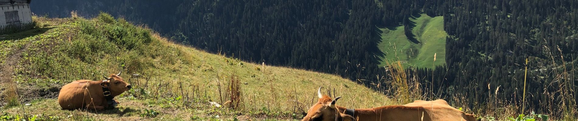
Superbe randonnée avec de très beaux paysages et si le temps est dégagé : en prime le MONT BLANC.


23 photos in total. Please click on a photo to see them all in the gallery.

Walking

Walking

Walking

Touring skiing

Touring skiing

Walking

Walking

Walking

Walking