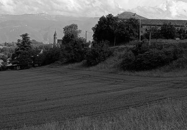
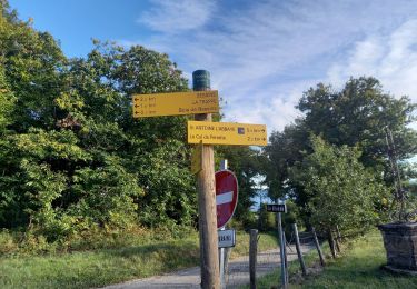
Trail Walking Chevrières - Chevrieres 38 - Photo
© OpenStreetMap contributors
Length
Length
78 km
Max alt
Max alt
651 m
Uphill gradient
Uphill gradient
882 m
Km-Effort
Km-Effort  
91 km
Min alt
Min alt
122 m
Downhill gradient
Downhill gradient
1171 m
Boucle
Boucle
No
Creation date :
2020-08-23 07:11:33.015
Updated on :
2020-08-23 14:52:30.326

(0 Reviews)

Walking
Walking
7h31
Difficulty : Very easy

Scan this QR Code to open this trail in the SityTrail application

FREE GPS app for hiking

Logo SityTrail SityTrail

IGN / Geographical institutes

Download SityTrail from the App Store Download SityTrail from Google Play

Logo SityTrail SityTrail World

The world is yours!

Download SityTrail from the App Store Download SityTrail from Google Play Download SityTrail on Huawei AppGallery

About

Trail Walking of 78 km to be discovered at Auvergne-Rhône-Alpes, Isère, Chevrières. This trail is proposed by Gilbertbancilhon.

Elevation profile

Positioning

Country:
France
Region :
Auvergne-Rhône-Alpes
Department/Province :
Isère
Municipality :
Chevrières
Location:
Unknown
Start:(UTM)
679845 ; 5006444 (31T) N.

Trails nearby

Trail Mountain bike Chatte - De Chatte à St Antoine en passant par Chevrière - Photo
Mountain bike
gilder89

Mountain bike

Very difficult
(1)
Chatte, Auvergne-Rhône-Alpes, Isère, France
44 km | 60 km-effort
3h 53min
Yes
Trail Walking Varacieux - varacieux la sone - Photo
Walking
sanchine

Walking

Medium
Varacieux, Auvergne-Rhône-Alpes, Isère, France
7.8 km | 10 km-effort
2h 46min
Yes
Trail Walking Roybon - Dionay - Photo
Walking
crocau

Walking

Difficult
Roybon, Auvergne-Rhône-Alpes, Isère, France
9.6 km | 12.1 km-effort
1h 54min
Yes
Trail Mountain bike Chatte - grp st Marcellin st Antoine  - Photo
Mountain bike
lpascal

Mountain bike

Very difficult
Chatte, Auvergne-Rhône-Alpes, Isère, France
99 km | 133 km-effort
9h 12min
No
Trail Mountain bike Varacieux -  varacieux - Photo
Mountain bike
starco

Mountain bike

Very difficult
Varacieux, Auvergne-Rhône-Alpes, Isère, France
44 km | 61 km-effort
3h 42min
No
Trail Walking Chevrières - Chevrieres fêtas - Photo
Walking
michelineguillot

Walking

Easy
(1)
Chevrières, Auvergne-Rhône-Alpes, Isère, France
13.3 km | 18 km-effort
3h 14min
Yes
Trail Walking Saint-Antoine l'Abbaye - Lac Chapaize / St Antoine - Photo
Walking
Gaillardenis

Walking

Medium
Saint-Antoine l'Abbaye, Auvergne-Rhône-Alpes, Isère, France
7.1 km | 9.4 km-effort
2h 7min
Yes
Trail Road bike Saint-Antoine l'Abbaye - anne paul - Photo
Road bike
thierryd

Road bike

Difficult
Saint-Antoine l'Abbaye, Auvergne-Rhône-Alpes, Isère, France
32 km | 40 km-effort
2h 26min
Yes
Trail Walking Roybon - La trappe  - Photo
Walking
jacky.26sp

Walking

Medium
(1)
Roybon, Auvergne-Rhône-Alpes, Isère, France
11.1 km | 15.2 km-effort
3h 19min
Yes


Close
My subscriptions