


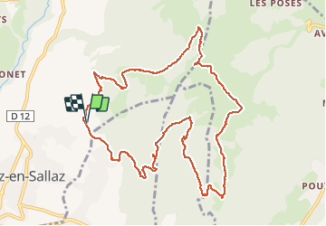

21 km | 31 km-effort

User GUIDE


FREE GPS app for hiking
 SityTrail
IGN / Geographical institutes
SityTrail World
The world is yours!
Trail Walking of 12.1 km to be discovered at Auvergne-Rhône-Alpes, Upper Savoy, Viuz-en-Sallaz. This trail is proposed by Kargil.
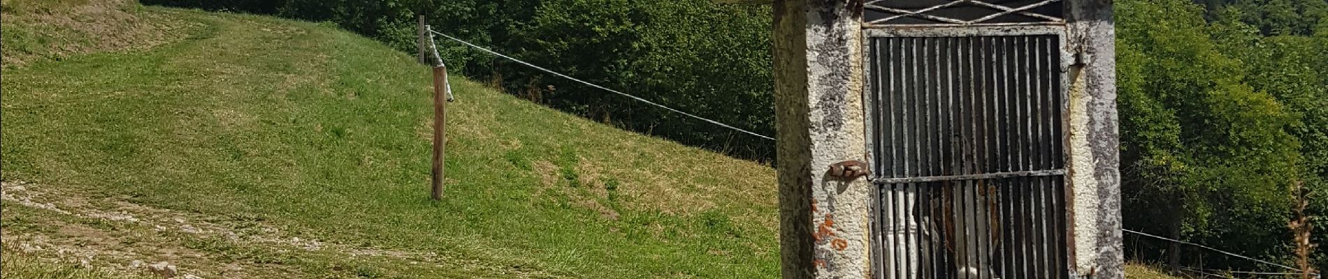
Montée abrupte avec quelques paliers sans grand intérêt autre que l'entrainement, le trail.
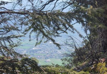
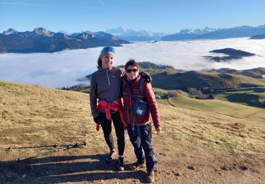
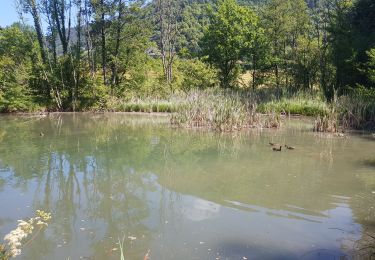
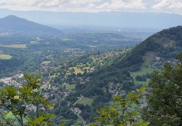
Belle vue au sommet.
Descente agréable sur sentiers confortables avec montée 200m en intermédiaire pour rejoindre les chalets de Vernant et se diriger vers Viuz.


Walking
Walking
Walking

Mountain bike

Running

Walking
Walking
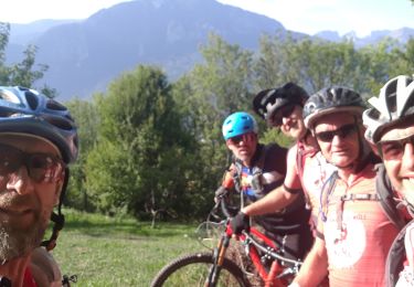
Mountain bike

Mountain bike