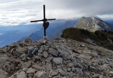
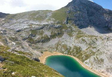
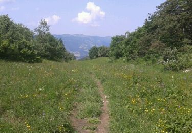
Trail Walking Villard-de-Lans - Villard-de-Lans Marche à pied - Photo

Villard-de-Lans Marche à pied

© OpenStreetMap contributors
Length
Length
8.7 km
Max alt
Max alt
1567 m
Uphill gradient
Uphill gradient
421 m
Km-Effort
Km-Effort  
14.3 km
Min alt
Min alt
1178 m
Downhill gradient
Downhill gradient
420 m
Boucle
Boucle
Yes
Creation date :
2020-08-21 17:03:18.489
Updated on :
2020-08-21 17:19:25.36

(0 Reviews)

Walking
Walking
2h56
Difficulty : Difficult

Scan this QR Code to open this trail in the SityTrail application

FREE GPS app for hiking

Logo SityTrail SityTrail
IGN / Geographical institutes

Download SityTrail from the App Store Download SityTrail from Google Play

Logo SityTrail SityTrail World
The world is yours!

Download SityTrail from the App Store Download SityTrail from Google Play Download SityTrail on Huawei AppGallery

About

Trail Walking of 8.7 km to be discovered at Auvergne-Rhône-Alpes, Isère, Villard-de-Lans. This trail is proposed by Krystoff Radisson.

Description

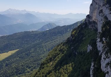
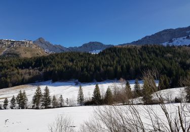
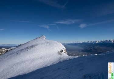
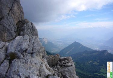
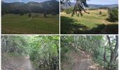
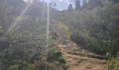
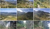
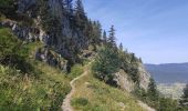
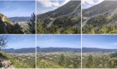
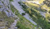
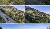
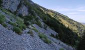
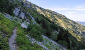
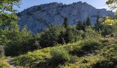
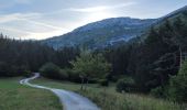
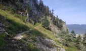
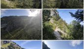
Un parking est disponible sur la route "Lieu-dit Les Espinasses". On part de La Ya (Alt 1215 m) pour joindre Prairies Du Machiret (Alt 1330 m). Dès lors, il ne reste plus qu'à monter sur Front Froide (Alt 1500 m). Par la suite, on prend la direction de Combe Chaulange (Alt 1530 m) pour descendre sur La Ya et rejoindre le parking. La partie la plus montante est Du Machiret jusqu'à Front Froide. Et de Front Froide à Combe Chaulange, c'est relativement plat, le spectacle est garantie mais à éviter si vertiges malgré que ce ne soit pas des vues plongeantes excessives.

Elevation profile

Photos

Positioning

Country:
France
Region :
Auvergne-Rhône-Alpes
Department/Province :
Isère
Municipality :
Villard-de-Lans
Location:
Unknown
Start:(UTM)
703051 ; 4994250 (31T) N.

Trails nearby

Trail Walking Lans-en-Vercors - 38 pic st michel - Photo
Walking
GUIDE
randodyssée

Walking

Easy
(1)
Lans-en-Vercors, Auvergne-Rhône-Alpes, Isère, France
8.7 km | 17.3 km-effort
5h 16min
Yes
Trail Snowshoes Lans-en-Vercors - La Crête des Ramées de nuit en raquettes - Photo
Snowshoes
patjobou

Snowshoes

Medium
(1)
Lans-en-Vercors, Auvergne-Rhône-Alpes, Isère, France
8 km | 13.4 km-effort
4h 9min
Yes
Trail Walking Villard-de-Lans - villard col des 2 soeurs - Photo
Walking
arnaudconde

Walking

Medium
(1)
Villard-de-Lans, Auvergne-Rhône-Alpes, Isère, France
7.7 km | 13.8 km-effort
2h 45min
Yes
Trail Walking Lans-en-Vercors - Le Pic saint michel - Photo
Walking
patjobou

Walking

Easy
(1)
Lans-en-Vercors, Auvergne-Rhône-Alpes, Isère, France
6.5 km | 13.2 km-effort
2h 38min
No
Trail Walking Lans-en-Vercors - le vertige des cimes - Photo
Walking
jeanfcd

Walking

Medium
(1)
Lans-en-Vercors, Auvergne-Rhône-Alpes, Isère, France
6.3 km | 11 km-effort
2h 9min
Yes
Trail Walking Villard-de-Lans - cabane de robon - Photo
Walking
Sylvie Mathiot

Walking

Very easy
(1)
Villard-de-Lans, Auvergne-Rhône-Alpes, Isère, France
10.2 km | 15.8 km-effort
5h 25min
Yes
Trail Snowshoes Lans-en-Vercors - Le Pic Saint-Michel en raquettes (2012) - Photo
Snowshoes
tracegps

Snowshoes

Medium
(2)
Lans-en-Vercors, Auvergne-Rhône-Alpes, Isère, France
8.4 km | 17.3 km-effort
5h 0min
Yes
Trail Mountain bike Corrençon-en-Vercors - Grande Traversée des PréAlpes à VTT : Corrençon en Vercors - La Chapelle en Vercors - Photo
Mountain bike
tracegps

Mountain bike

Difficult
(1)
Corrençon-en-Vercors, Auvergne-Rhône-Alpes, Isère, France
25 km | 36 km-effort
3h 30min
No
Trail Walking Villard-de-Lans - Le sentier Peronnard et le Pas de l'OEille - Photo
Walking
tracegps

Walking

Easy
(1)
Villard-de-Lans, Auvergne-Rhône-Alpes, Isère, France
13.7 km | 25 km-effort
6h 0min
Yes


Close
My subscriptions