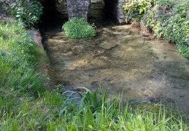
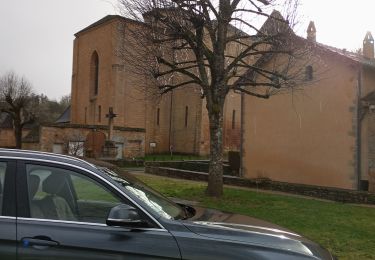
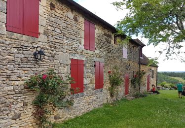
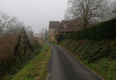
18.8 km | 25 km-effort
boucle truffier 1
NICOLEROBERT
User
Length
4.3 km
Max alt
226 m
Uphill gradient
77 m
Km-Effort
5.5 km
Min alt
150 m
Downhill gradient
129 m
Boucle
No
Creation date :
2020-08-21 08:56:08.5
Updated on :
2020-08-21 10:19:23.165
1h22
Difficulty : Very easy
FREE GPS app for hiking
About
Trail Walking of 4.3 km to be discovered at New Aquitaine, Dordogne, Val de Louyre et Caudeau. This trail is proposed by NICOLEROBERT.
Positioning
Country:
France
Region :
New Aquitaine
Department/Province :
Dordogne
Municipality :
Val de Louyre et Caudeau
Location:
Sainte-Alvère
Start:(Dec)
Start:(UTM)
330095 ; 4978669 (31T) N.
Comments
Trails nearby
Pezuls 10,5km
Walking
Medium
Val de Louyre et Caudeau,
New Aquitaine,
Dordogne,
France
10.5 km | 13.3 km-effort
1h 54min
Yes
swwpaunat
Walking
Medium
Paunat,
New Aquitaine,
Dordogne,
France
10.5 km | 14.2 km-effort
2h 40min
Yes
boucle boissiere
Walking
Easy
Val de Louyre et Caudeau,
New Aquitaine,
Dordogne,
France
13.1 km | 16.5 km-effort
2h 38min
Yes
Boucle du Maquis
On foot
Easy
Val de Louyre et Caudeau,
New Aquitaine,
Dordogne,
France
4.9 km | 6.4 km-effort
1h 27min
Yes
Les Truffières st Avére
Walking
Medium
(1)
Val de Louyre et Caudeau,
New Aquitaine,
Dordogne,
France
8.4 km | 11 km-effort
3h 20min
Yes
boucle des truffiers
Walking
Easy
Val de Louyre et Caudeau,
New Aquitaine,
Dordogne,
France
10.9 km | 14.2 km-effort
2h 12min
No
Paunat 12,5km
Walking
Easy
Paunat,
New Aquitaine,
Dordogne,
France
12.8 km | 16.4 km-effort
2h 45min
Yes
boucle journiac
Walking
Very easy
Journiac,
New Aquitaine,
Dordogne,
France
12.2 km | 15.6 km-effort
3h 3min
Yes