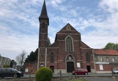
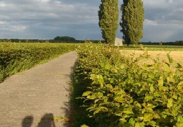
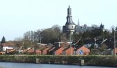
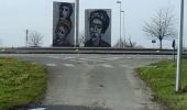
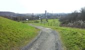
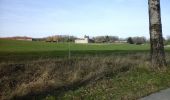
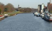
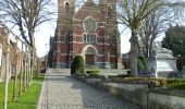
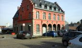
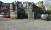
Trail Walking Antoing - Antoing - Le tour du pays blanc - Photo

Antoing - Le tour du pays blanc

© OpenStreetMap contributors
Length
Length
10.9 km
Max alt
Max alt
56 m
Uphill gradient
Uphill gradient
141 m
Km-Effort
Km-Effort  
12.8 km
Min alt
Min alt
9 m
Downhill gradient
Downhill gradient
140 m
Boucle
Boucle
Yes
Creation date :
2015-09-29 00:00:00.0
Updated on :
2015-09-29 00:00:00.0

(0 Reviews)

Walking
Walking
2h48
Difficulty : Medium

Scan this QR Code to open this trail in the SityTrail application

FREE GPS app for hiking

Logo SityTrail SityTrail
IGN / Geographical institutes

Download SityTrail from the App Store Download SityTrail from Google Play

Logo SityTrail SityTrail World
The world is yours!

Download SityTrail from the App Store Download SityTrail from Google Play Download SityTrail on Huawei AppGallery

About

Trail Walking of 10.9 km to be discovered at Wallonia, Hainaut, Antoing. This trail is proposed by perrucheone.

Description

Alliant milieu urbain et rural, ce circuit présente les différentes facettes du Pays blanc. Sur les routes d’Antoing et de Calonne, le promeneur découvre la nature au gré d’anciennes carrières tel le site des 5 rocs et le patrimoine industriel des fours à chaux. Des sites qui méritent que l’on s’y attarde. Présentant peu de difficultés, ce circuit est accessible à tous mais nécessite toutefois quelques efforts physiques !
Départ Place Bara.
Balisage: Rectangle jaune.
Plus de détails sur le site de la Wallonie Picarde:http://www.visitwapi.be/
Bonne balade à tous.

Elevation profile

Photos

Points of interest

Point of interest Antoing - Ancien Hotel de Ville - Photo
perrucheone
Point of interest Antoing - Eglise Saint Pierre - Photo
perrucheone
Point of interest Antoing - L'Escaut et CBR - Photo
perrucheone
Point of interest Antoing - Vue sur Calonne - Photo
perrucheone
Point of interest Antoing - Entre Calonne et Bruyelle - Photo
perrucheone
Point of interest Antoing - Rond point de Bruyelle - Photo
perrucheone
Point of interest Antoing - Vue sur le chateau d'Antoing - Photo
perrucheone
Point of interest Antoing - Rue Alevale - Photo
perrucheone
ANTOING 

Positioning

Country:
Belgium
Region :
Wallonia
Department/Province :
Hainaut
Municipality :
Antoing
Location:
Antoing
Start:(UTM)
531768 ; 5601611 (31U) N.

Trails nearby

Trail Walking Antoing - grand large- penonnes lez antoing - Photo
Walking
papiou

Walking

Easy
(3)
Antoing, Wallonia, Hainaut, Belgium
9.9 km | 10.7 km-effort
2h 12min
Yes
Trail Walking Antoing - Balade au coeur de Péronnes - Photo
Walking
GUIDE+

Walking

Easy
(1)
Antoing, Wallonia, Hainaut, Belgium
4.5 km | 4.9 km-effort
1h 6min
Yes
Trail On foot Tournai - Le long de la Vallée du Rieu de Barges - Photo
On foot
GUIDE+

On foot

Easy
Tournai, Wallonia, Hainaut, Belgium
10.2 km | 11.3 km-effort
2h 33min
Yes
Trail On foot Tournai - Exploring the trades of yesteryear - Photo
On foot
GUIDE+

On foot

Easy
(1)
Tournai, Wallonia, Hainaut, Belgium
6.8 km | 7.8 km-effort
1h 46min
Yes
Trail On foot Antoing - 'Pays Blanc' circuit - Photo
On foot
GUIDE+

On foot

Easy
Antoing, Wallonia, Hainaut, Belgium
12.3 km | 14.3 km-effort
3h 14min
Yes
Trail Walking Tournai - Tournai fbg Saint Martin Ere 16,5 km - Photo
Walking
GUIDE
rvapeldo

Walking

Easy
Tournai, Wallonia, Hainaut, Belgium
16.5 km | 0 m-effort
4h 22min
Yes
Trail Road bike Tournai - Brau vélo Ravel Antoing - Photo
Road bike
bve9600

Road bike

Very easy
(1)
Tournai, Wallonia, Hainaut, Belgium
28 km | 31 km-effort
2h 22min
Yes
Trail Walking Brunehaut - RB - H - 15 Lesdain - Photo
Walking
GUIDE
romanceline

Walking

Very easy
Brunehaut, Wallonia, Hainaut, Belgium
17.7 km | 18.9 km-effort
3h 55min
Yes
Trail Walking Tournai - Tournai Doornik Stadswandeling - 4 km RT - Photo
Walking
wandelroutes

Walking

Very easy
(1)
Tournai, Wallonia, Hainaut, Belgium
4.2 km | 4.7 km-effort
Unknown
Yes


Close
My subscriptions