


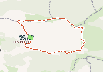

16.1 km | 24 km-effort

User GUIDE


FREE GPS app for hiking
 SityTrail
IGN / Geographical institutes
SityTrail World
The world is yours!
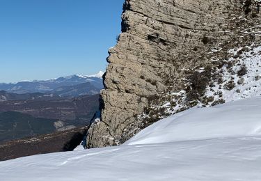
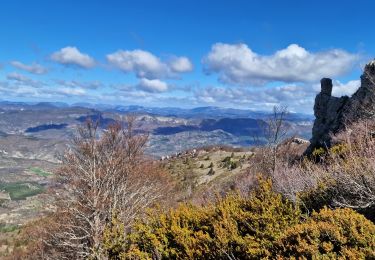
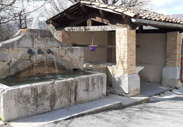
Trail Walking of 10 km to be discovered at Provence-Alpes-Côte d'Azur, Hautes-Alpes, Éourres. This trail is proposed by RobinMicheline.
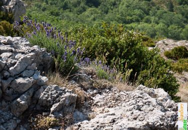
Vue magnifique le long des cretes , bien indiquer , facile


Walking
Walking
Walking
Walking
Walking

Walking
Walking
Walking
Walking