


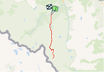

11.4 km | 17.5 km-effort

User


FREE GPS app for hiking
 SityTrail
IGN / Geographical institutes
SityTrail World
The world is yours!
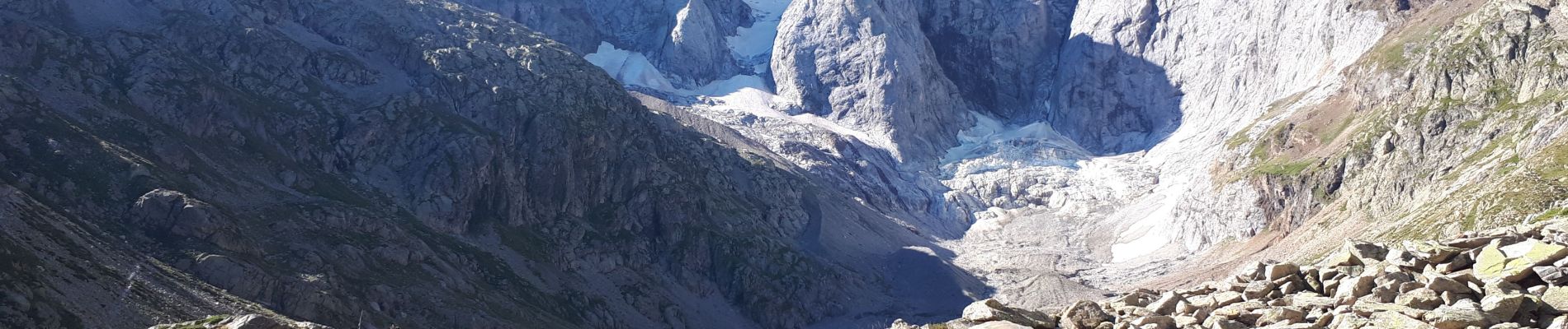
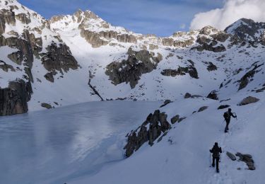
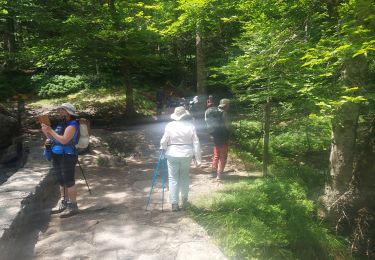
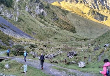
Trail Walking of 26 km to be discovered at Occitania, Hautespyrenees, Cauterets. This trail is proposed by GrouGary.
Gros dénivelé et randonnée AR de 26 km. Montées soutenues mais sans difficultés techniques. Une bonne condition physique est nécessaire.
Traversée de pâtures de moutons et vaches, sans problème, près du magnifique Lac de Gaube.


Walking

Walking

Walking
Walking

Walking

Walking

Walking
Walking
Walking