


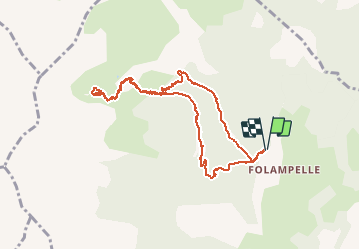

10.6 km | 21 km-effort

User


FREE GPS app for hiking
 SityTrail
IGN / Geographical institutes
SityTrail World
The world is yours!
Trail Walking of 9.4 km to be discovered at Provence-Alpes-Côte d'Azur, Hautes-Alpes, Embrun. This trail is proposed by SyMA.
Départ Parking route de Caléyère
Boucle aller par Aiguille et Fontaniers
Tour du beau Lac d'altitude
Retour par Pré clos
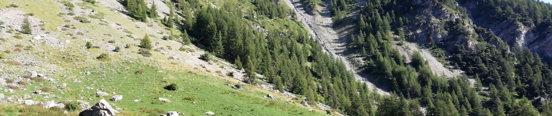
Belle balade avec départ et arrivée en Forêt Pas de difficulté


Walking

Walking

Walking

Walking

Walking

Walking

Walking

Walking

Walking