


11.1 km | 17.4 km-effort


User


FREE GPS app for hiking
 SityTrail
IGN / Geographical institutes
SityTrail World
The world is yours!
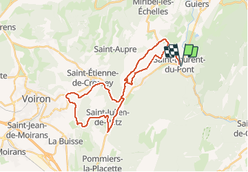
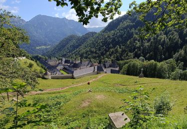
Trail Hybrid bike of 35 km to be discovered at Auvergne-Rhône-Alpes, Isère, Saint-Laurent-du-Pont. This trail is proposed by choubaka77.
Circuit entre Saint-Laurent-du-Pont et saint Étienne de Crossey par le gorges avec de superbes points de vue sur la chartreuse et le vercors au dessus de Voiron

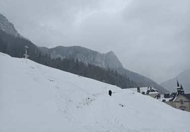
Snowshoes

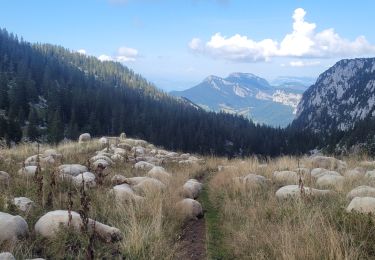
Walking

Walking

Walking

Walking
Walking
Walking
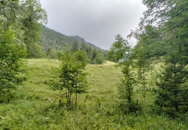
Walking
Walking