


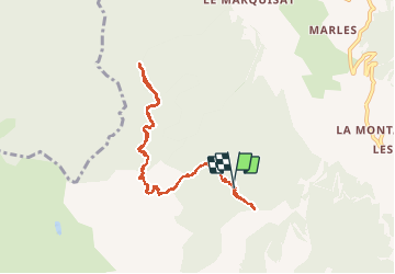

10.6 km | 21 km-effort

User


FREE GPS app for hiking
 SityTrail
IGN / Geographical institutes
SityTrail World
The world is yours!
Trail Walking of 9 km to be discovered at Provence-Alpes-Côte d'Azur, Hautes-Alpes, Crots. This trail is proposed by SyMA.
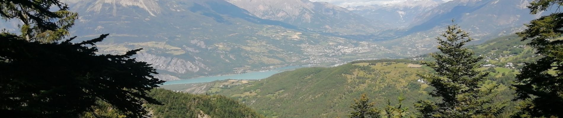
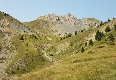
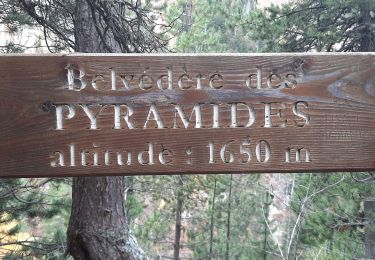
Belle balade facile sur sentier des pyramides en pleine forêt.
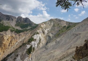
Ne pas faire en cas de pluie car quelques passages seraient à risque .
Ne pas oublier de faire le petit aller retour vers belvédère trés pédagogique .


Walking

Walking
Walking

Walking

Walking

Walking
Walking
Walking

Mountain bike