


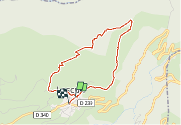

8.8 km | 14.3 km-effort

User


FREE GPS app for hiking
 SityTrail
IGN / Geographical institutes
SityTrail World
The world is yours!
Trail Walking of 4.4 km to be discovered at New Aquitaine, Pyrénées-Atlantiques, Lescun. This trail is proposed by alfreson.
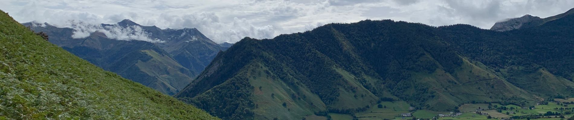
Superbe promenade avec des paysages variés à la montée, vue sur tout le cirque de Lescun, et descente au milieu des fougères 😀 à faire dans ce sens là!


Walking

Walking

Walking

On foot

On foot
On foot
On foot

On foot
On foot