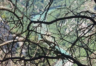
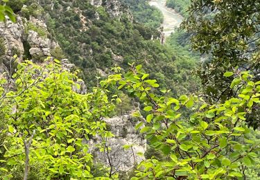
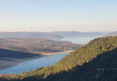
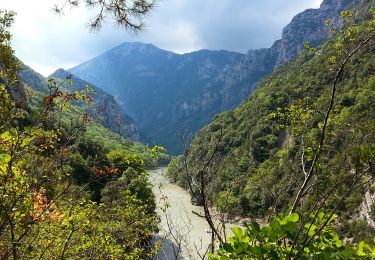
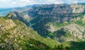
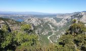
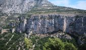
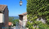
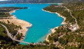
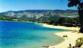
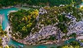
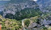
Trail Car Aiguines - D71(salles/verdon-comps sur artubry) - Photo

D71(salles/verdon-comps sur artubry)

© OpenStreetMap contributors
Length
Length
44 km
Max alt
Max alt
1220 m
Uphill gradient
Uphill gradient
1406 m
Km-Effort
Km-Effort  
61 km
Min alt
Min alt
502 m
Downhill gradient
Downhill gradient
1008 m
Boucle
Boucle
No
Creation date :
2020-08-17 13:48:38.646
Updated on :
2021-08-13 05:03:30.689

(0 Reviews)

Car
Car
1h00
Difficulty : Very easy

Scan this QR Code to open this trail in the SityTrail application

FREE GPS app for hiking

Logo SityTrail SityTrail
IGN / Geographical institutes

Download SityTrail from the App Store Download SityTrail from Google Play

Logo SityTrail SityTrail World
The world is yours!

Download SityTrail from the App Store Download SityTrail from Google Play Download SityTrail on Huawei AppGallery

About

Trail Car of 44 km to be discovered at Provence-Alpes-Côte d'Azur, Var, Aiguines. This trail is proposed by jeromelacoste.

Description

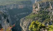
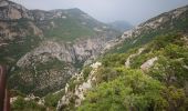
une petite route qui surplombe le cours du Verdon et vous offre, grâce à ses belvédères d'admirables panoramas. Cette route est très belle, très impressionnante, au point qu'elle est surnommée la Corniche Sublime.

Vous passerez d'abord au Col d'Illoire qui autorise un coup d'œil incomparable sur la fin des Gorges du Verdon (au Pont du Galetas) et sur le Lac de Sainte Croix. Ensuite, en remontant les gorges,  vous pourrez admirer le Cirque de Vaumale, la Falaise de Baucher, la Falaise des Cavaliers. Après le tunnel du Fayet vous vous dirigerez vers le Pont de l'Artuby, un des hauts lieux du saut à l'élastique ! Viennent ensuite les Balcons de la Mescla, autre point de vue remarquable. On s'écarte ensuite du cours de la rivière pour aller jusqu'à Trigance (D90) ou poursuivre sur la D71 jusqu'à Comps sur Artuby (plus éloigné des gorges).

Elevation profile

Photos

Points of interest

Point of interest Aiguines - Cirque de vaumale - Photo
jeromelacoste
Point of interest Aiguines - point de vue gorges du verdon - Photo
jeromelacoste
Point of interest Aiguines - Belvédère du plan - Photo
jeromelacoste
Point of interest Aiguines - Observation spot - Photo
jeromelacoste
Point of interest Aiguines - Belvédère d'aiguines - Photo
jeromelacoste
Point of interest Les Salles-sur-Verdon - Plage (salles sur verdon) - Photo
jeromelacoste
LES SALLES-SUR-VERDON 
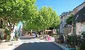
Point of interest Aiguines - Aiguines - Photo
jeromelacoste
AIGUINES 
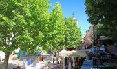
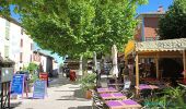
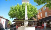
Point of interest Les Salles-sur-Verdon - Village Les salles sur verdon - Photo
jeromelacoste
LES SALLES-SUR-VERDON 
Point of interest Rougon - Balcon de la mescla - Photo
jeromelacoste

Positioning

Country:
France
Region :
Provence-Alpes-Côte d'Azur
Department/Province :
Var
Municipality :
Aiguines
Location:
Unknown
Start:(UTM)
276160 ; 4850523 (32T) N.

Trails nearby

Trail Walking Aiguines - 25-07-2023 Le Grand Margès retour par le cirque de Vaumale - Photo
Walking
GUIDE
Kargil

Walking

Very difficult
Aiguines, Provence-Alpes-Côte d'Azur, Var, France
17 km | 31 km-effort
7h 5min
Yes
Trail Walking Aiguines - Grand Marges Gorges Verdon réel - Photo
Walking
GUIDE
jouans

Walking

Very difficult
Aiguines, Provence-Alpes-Côte d'Azur, Var, France
18 km | 32 km-effort
5h 48min
Yes
Trail Walking Moustiers-Sainte-Marie - 2023-02-14 Les grottes de Saint Maurin  - Photo
Walking
GUIDE
Kargil

Walking

Easy
Moustiers-Sainte-Marie, Provence-Alpes-Côte d'Azur, Alpes-de-Haute-Provence, France
7.5 km | 12.2 km-effort
4h 11min
Yes
Trail Walking Bauduen - Circuit au bord du lac Ste Croix - Photo
Walking
Elidabeth

Walking

Easy
(2)
Bauduen, Provence-Alpes-Côte d'Azur, Var, France
11.6 km | 15.8 km-effort
3h 0min
Yes
Trail Walking Bauduen - Le lac SAINTE-CROIX (Bauduen) - Photo
Walking
GUIDE
amiral13

Walking

Easy
Bauduen, Provence-Alpes-Côte d'Azur, Var, France
13.7 km | 18.2 km-effort
5h 39min
Yes
Trail Walking La Palud-sur-Verdon - Gorges du Verdon - Sentiers des pêcheurs - Photo
Walking
GUIDE
Orcal37

Walking

Medium
La Palud-sur-Verdon, Provence-Alpes-Côte d'Azur, Alpes-de-Haute-Provence, France
7.5 km | 12.7 km-effort
2h 45min
Yes
Trail Walking La Palud-sur-Verdon - Sentier des Pêcheurs - Photo
Walking
frizou83

Walking

Easy
(2)
La Palud-sur-Verdon, Provence-Alpes-Côte d'Azur, Alpes-de-Haute-Provence, France
5.8 km | 10.3 km-effort
2h 30min
Yes
Trail Walking Aiguines - aiguines - Photo
Walking
mailis

Walking

Very easy
(2)
Aiguines, Provence-Alpes-Côte d'Azur, Var, France
6.6 km | 10.8 km-effort
2h 35min
Yes
Trail Walking Les Salles-sur-Verdon - 28-06-2023 Les Salles - Le Grand Défens - Bauduen  - Photo
Walking
GUIDE
Kargil

Walking

Difficult
Les Salles-sur-Verdon, Provence-Alpes-Côte d'Azur, Var, France
20 km | 27 km-effort
5h 12min
Yes


Close
My subscriptions